TALES FROM THE TRAIL (AND SOMETIMES THE ROAD TOO)

Saturday, January 19, 2013

The Candy Store Run

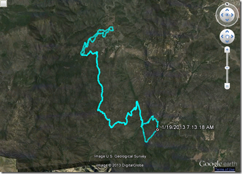
In preparation for Old Goat 50 this March, I left early this morning for a drive up the mountain to run what we call “The Candy Store Run.”  It’s named this because either the beginning, or the middle of the route, is across the highway from The Candy Store up Ortega Highway in the Cleveland National Forest.  This route is approximately the first twenty miles of Old Goat.  It’s single track, it’s technical, and even the downhill is hard, very hard. 

Since I parked across from The Candy Store I ran approximately miles 10 through 20 first, then turned around and ran miles 1 through 10 of Old Goat.  To run the route correctly would have meant driving several more miles and parking near a Big Baz trail race event today.  I was in the mood for some solo running this morning.  And solo running I got for a long, long time.

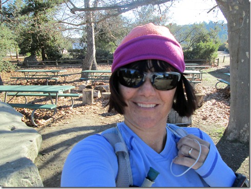
I found the “hard” part (mainly uphill) quite pleasant this morning.  The air was still cold and the scenery was breathtaking.  I felt strong the entire way into Lower Blue Jay campground.  

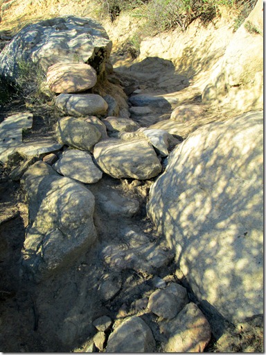
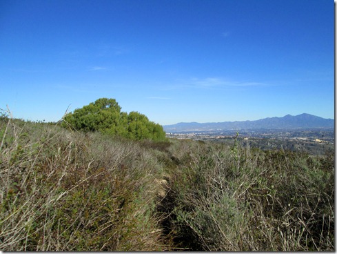
Running San Juan Loop down into canyon:
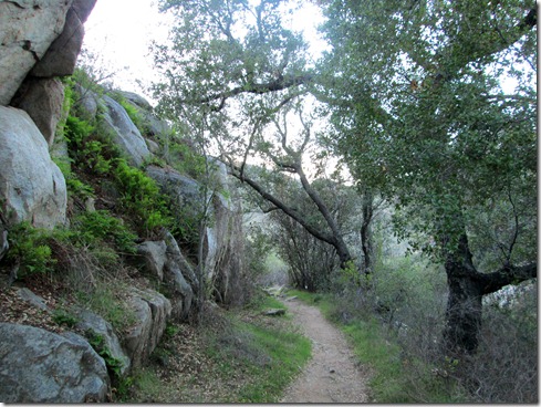
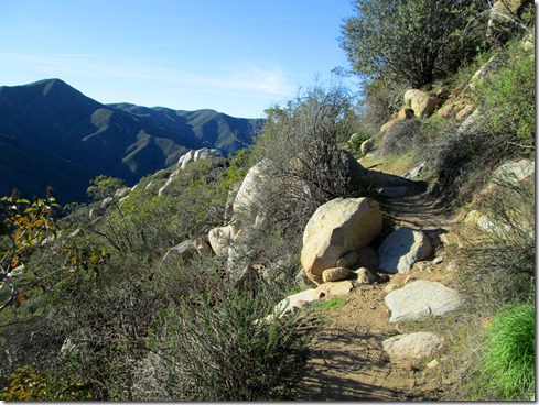
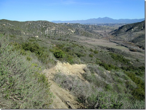
Chiquita Trail:

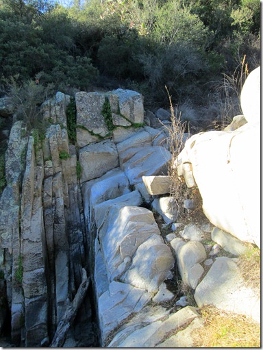
A stop at Chiquita Falls (which was dry).  I spent some minutes here, which won’t happen in the race.  (However, I must get in and out of the aid stations quickly come March!):
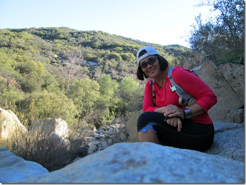
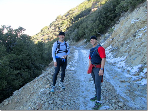
I entered Blue Jay Campground toward the end of Baz’s race.  I ran the opposite way as several worn-out runners.  Some were bloody and bruised (and bandaged), one lady was even holding her wrist up as if it was sprained or broken.  I also saw a running friend, John H. in the campground after he finished up a solo 20 miler.  Even though I didn’t stop by the Start/Finish, I could hear Baz’s voice booming through the mountains.  Sounded like a fun time.  Though the race was only a 12k, I could have benefited from it for speed training.  But I really needed to do this Candy Store Run.  I wanted to make sure that I could make it with enough time to complete the remaining 30 miles.

Turns out I ran this extremely difficult terrain in 6 hours, the absolutely longest I can take and maybe finish the 50 miler.  I did stop at the falls.  I also talked with John a bit.  Then on the final stretch back in I was stopped by nearly every group of hikers coming in (at least 4 different groups).  Now, I feel an obligation to be kind to strangers, and an even stronger obligation to answer their questions when they don’t know where they are, and I do.  I would HATE IT if I brushed off a hiker and he/she ended up lost.

One young woman hiking with her boyfriend asked me with despair in her voice, “How much longer til the end?”  There’s that question again.  Exactly WHERE IS THE END?  (Giggle, giggle).

I stopped.  “Where are you going?”

“Chiquita Falls.”

I couldn’t do the math quick enough using my garmin, and I really wanted to get going.  So, I asked, “How far have you travelled?” 

“About an hour,” the woman responded.

(Hardy laugh inside my head, but a wide smile on my face)  Time on the trails gives me absolutely no information.  When I talk about driving, I always talk in time.  For example, “It’s an hour drive.”  But not when it comes to running trails.

“I mean, how many miles?”

Her boyfriend told me that they had gone about 2 1/2 miles to which I responded, “Well then, you are half way there!”  He smiled at his girlfriend and gave her a reassuring hug. 

With about a mile remaining, and out of water for a while, three guys stopped me and asked, “Is there a peak or something somewhere around here?” 

I grinned, almost laughing looking up at all the peaks in the mountains.  Then (with a giggle to myself), I said, “Santiago Peak is about 30 miles away.”  I could tell they wanted to hike to a place of interest.  So, I told them about Chiquita Falls and how to get there.  Then as they marched off I noticed that each of them held ONE water bottle about half full.  “You don’t have enough water!” I yelled back.  I pointed to the ridge they’d have to go over and noted that it was exposed.  They’d never make it.  Good thing they believed me.  When I told them about the much shorter loop back to the parking lot, they said that sounded better.

We’re in the 80’s F here now in California.  When I arrived to my truck I was parched!  Without water for a mile or two, I couldn’t wait to get to the coconut waters in much truck that I had frozen the night before.  I felt for sure they’d be warm by then.  Turned out they were still frozen solid.  Desperate, I ran across the street to The Candy Store.  It smelled sickly sweet of freshly baked cookies and muffins.  I grabbed a water and a diet coke, swiped my debit card, and the total came to $4.85!!!!  Now if you have read my blog on occasion, you may have deduced if I haven’t already downright written it, I AM POOR.  There’s no way I’d ever pay that much for those two drinks (24 packs of cokes or water cost around $6 to $7).  Then the friendly cashier said that debit cards had a FIVE DOLLAR minimum.  “Would you like to add a cookie?”  The thought of a cookie made me want to vomit.  So, I added a small bag of candies for my sons’ dessert tonight and my total came to over $7.  Moral of the story – FILL UP ON WATER WHEN I GET TO BLUE JAY CAMPGROUND.  I had the chance, but I didn’t.  To make my mistake more stupid, I ran out of water after not re-filling at Blue Jay the last time I ran The Candy Store Run. 

Despite the water thing, I loved this run.  BUT, I really must do it faster.  Like an hour faster!!!  I want some time to spare for the next 30 miles.

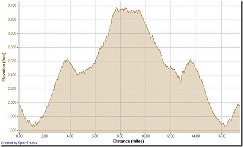
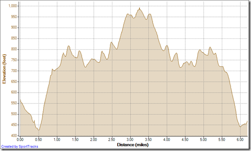
Today’s profile Red rose:
Running Candy Store Loop 1-19-2013, Elevation - DistanceRunning Candy Store Loop 1-19-2013

Wednesday, January 16, 2013

Redemption Run

I woke through the night once again, twice from leg cramps.  Still, I felt more rested when I woke for good (probably because I bedded down at 8:30 PM).  Also on the good side, our cold Southern California coastal weather warmed up a bit.  (We got around 43F!!).  Be that as it may, this morning I didn’t need the cold to kick my butt up the hill and start running.  I was raring to go.  My first race of 2013 is a mere 11 days off, and though I’m not even near the condition  I wanted for the race that started me on my way as a trail runner, I’m okay with that.  I just wanted to put in the mileage this morning.  And my race in 11 days . . . that will be a mini-vacation for my family, as well as, another training run for me as I edge closer to the Old Goat 50 Miler.  (Oh no! Here we go!!!)

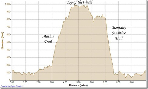
This morning, I decided on about a 10.5 mile (approx. 17 km) counter-clockwise loop in Aliso/Wood Canyons.  Make that a lollipop loop – a lollipop that climbed Mathis Trail.  I took my two oldest boys up Mathis about two weeks ago, and felt like a bad mom for doing so.  But they conquered Mathis with little moans and groans.  As such, I thought I’d do a little redemption run up that very trail.  Dang!  It’s a toughie. 

Bundled up at Aliso/Wood Ranger Station ready to warm my bones:

Creek Crossing on Mathis:

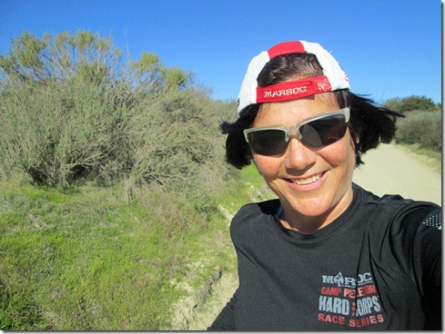
Suiting down for the run up Mathis: Smile

After that gigantic climb I ran across Top of the World, past Mentally Sensitive and did some bushwhacking back to the steepest trail in the park.  Now, when I run up Mentally Sensitive, I have been known to grow angry over how much the climb kills me.  I think to myself, “It shouldn’t hurt this badly!”  If you ever feel that way about an ascent, take my advice.  Run DOWN that hill.  When I ran down Mentally Sensitive this morning, I thought, “Heck!  No wonder it hurts so much.  This trail is STEEP, dangerously STEEP.”  Take my word, you can judge the steepness with a keener eye running downhill.  That’s when you really discover just how insane you’ve been all along running up that trail.  My original re-naming of Mentally Sensitive to Psycho-Path was right on.

Gotta throw in some bushwhacking whenever I can:

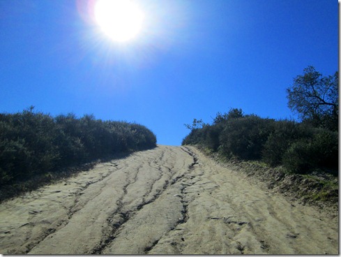
Running down Mentally Sensitive:

Today’s Elevation Profile (My new monthly goal is to run Mount Everest’s elevation every month – that’s more than 29,000’ [8,848 m])  Notice I’ve began keeping track of elevation gain on the mileage sidebar:

mathis loop

Tuesday, January 15, 2013

Forcing It

I have not slept well for two nights now, waking every single hour.  I had originally planned for my short run this morning.  But, after dropping the boys all off at school, I didn’t think I could do it.  The weather was dang freezing – well, not actually freezing, but pretty close.  Yet, I had to turn down the heater on the way to the trails because it was putting me to sleep.  I made the entire twenty minute drive, parked and still considered turning around, driving back home and taking a long nap.  I knew I would hear it from hubby if I did that.  You see, he suspects I’m sleeping badly because I haven’t been running as much as I usually do.  Friday, in fact, was the last day I ran.  Saturday I worked.  Sunday I hiked with my sons.  Monday, I napped and did chores before going to work in the evening.

I seriously considered sleeping in my truck parked about a quarter mile from the trail head this morning.  Ludicrous?  Absolutely.   The ONLY thing that got me out there was this:  I didn’t want to sleep with the truck running, and it was so darn cold, that I wouldn’t be able to sleep without the heater blasting.  And so I exited the truck, and went for a run to The Top of the World in Laguna Beach to get warm.  Simply to get warm.

I tell no lie – it was the top of Cholla Trail that beckoned me. It said, “Run up me and you will be warm!”

And Cholla did not lie either.  I definitely warmed up running Cholla Trail.  And I had a magnificent run the entire 6.5 miles. I felt strong for the first time in a long, long time.  I was able to increase my speed here and there. And I recovered instantly upon conquering a hill.  I haven’t needed to force a run in a while, which is probably why I forgot that a lot of the time, forced runs end up being the best runs. 

Running cyn vistas out and back to top of the world 1-15-2013, Elevation - Distance

Friday, January 11, 2013

In the Moment

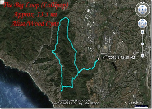
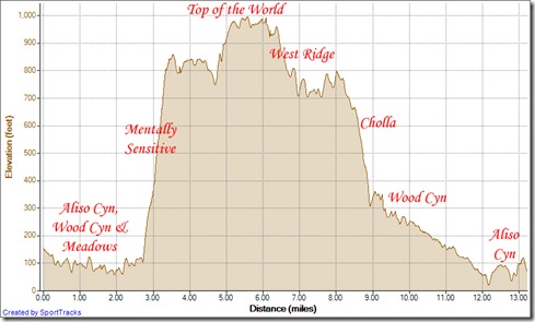
On this very cold morning (it may have been freezing) I went for a Big Loop run in Aliso / Wood Canyons.  I call it the big loop because it’s the largest single loop I can run within this park.  Yet, it isn’t actually a loop.  It’s what some, including myself, call a “Lollipop.”  A lollipop loop has an out-and-back somewhere in the loop (the stick to the lollipop.)  In the Big Loop, the stick portion (out-and-back, is at the beginning and the end; that is, it ends on the same trail as it starts – Aliso Creek Trail).

Running Big Loop Aliso clockwise 1-11-2013

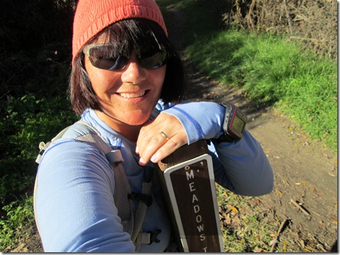
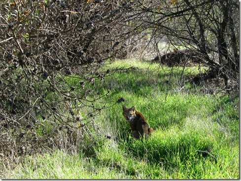
Running the big loop clockwise means running up the hardest trail in the park.  Did that bother me?  Nah.  I pretty much took this run today thoughtless.  Yup, without a clue. Smile That is, I didn’t think about anything.  Not a thing.  I just ran through The Present.  And as such, I was lucky enough to take in the moments as they soaked through me.  I took in the clumps of grass, deer running down slopes in the distance, spider and weasel holes in the dirt.  And after turning onto Meadows Trail, a bobcat pounced onto the trail in front of me. Then he quickly scurried into the brush.  He had apparently caught what looked like a rat, or some other rodent, and I was so lucky to take in his beauty and snap a picture at pretty close range.  He didn’t take his eyes off me, for sure.  And when I left, I trotted away backward (facing him: eyes on eyes) until the cat was no longer in sight.  I felt blessed for sharing that moment in nature with “Bobby.”  He was a beauty.

Turning onto Meadows Trail:

Bobby:

I eventually took off my beanie (running up Mentally Sensitive), but then wished I had it later on.  When I’m running though, I don’t like going through back compartments in my pack unless I absolutely have to.  I guess, I didn’t absolutely need my beanie.  With the wind howling, I was cold (not terribly) this entire run.  Fortunately, I layered clothing, so it was all acceptable.  When I just run and focus on the moment, temperature doesn’t bother me too much.  I know that seems odd.  Seems like I’d notice the cold more while focusing on the present.  But I don’t.  I guess, as the moments pass, you’re travelling to the next moments, and there’s no dwelling in what just was (which in today’s case was cold and wind.) Smile

Okay, I’m a dork.  A dork who enjoyed her run this morning immensely.

Running up Mentally Sensitive:

Follow me, if you dare as I crawl through these bushes:

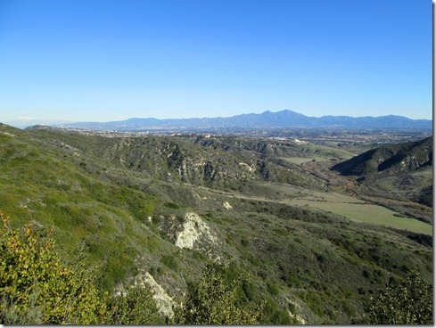
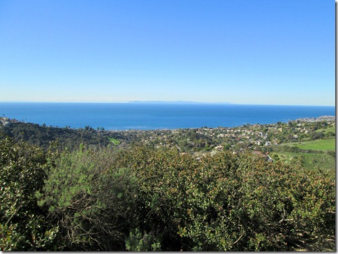
Overlooking Pacific Ocean, on my way to Top of the World:

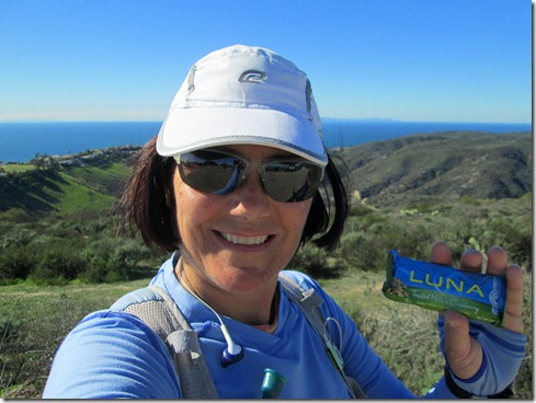
A quick snack at Top of the World (a little less than half way in this loop):

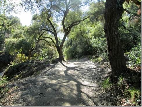
Back in Wood Canyon for the trip back:

Elevation Profile:Running Big Loop Aliso clockwise 1-11-2013, Elevation - Distance

Tuesday, January 8, 2013

Traction!

I took the ace bandage off my wrist this morning for a short run up to Top of the World and back.  The skies were blue, the weather cool and I had some traction!  Yes, when my feet hit the ground, they didn’t slide.  Beautiful.  No ice, no snow, no slush.  Today’s run was a quiet little adventure.  Merely a peaceful run through the wilderness.  My calves were tight at first.  My knees ached a bit at first also.  They ached from impact injury not from repetitive-use (my left knee is scabbed up a bit).  Anyway, I’d much rather have the impact injury over repetitive-use. 

I saw plenty of hikers and runners on the trails today.  An influx of people into the sport, or perhaps signs of New Years Resolutions.   It’s all good. 

Running down into Wood Canyon:

West RidgeTrail:

Top of the World:

Today’s out-and-back:  Wood Cyn, Cholla, West Ridge to Top of the World (& back Smile)

Running cyn vistas out-and-back 1-8-2013, Elevation - Distance

Saturday, January 5, 2013

Setting the Clock Back to Zero

Welcome 2013. It’s nice to meet ya!

I’m not one for making New Year’s resolutions.  I like to look back, but only briefly.  And I like to look forward, but not too far – it freaks me out, makes me anxious.  What I do like is starting over, setting back my running log to ZERO.  I REALLY like starting over.  Monday has always been “start over day” for me.  But in reality, every single day is start over day (in that sense, every single hour is start over hour, every second is start over second.)  A new year though, brings out the strongest sense of a new beginning. Starting a new running spreadsheet with zero recorded, really makes that hit home.   I feel I have a blank slate, not only with running, but in life.  I have more lessons to learn, opportunities to grow.

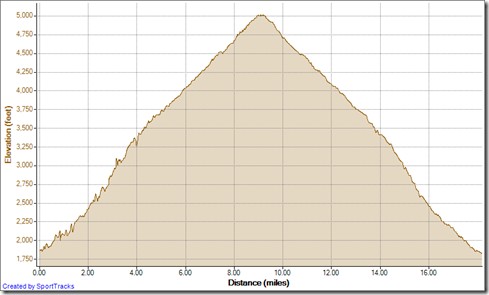
This morning I woke for the first run of the year.  It took me five days to get out a run in 2013 because we are still in “celebration” mode here.  The boys are on Christmas vacation, as am I.  We took in a few hikes, some good food, etc.  It seemed so long since I ran, it almost felt like I wasn’t a runner.  Nah.  I knew all I had to do was get those feet moving and I’d be on my way up the mountain.  That’s how I did it this morning, one foot in front of the other, up Maple Springs Road, then The Main Divide to Modjeska Peak, for an 18+ mile out-and-back.  And what an adventure it was.  The mighty mountain taught me a few lessons, and beat me up quite a bit in the process.

What fun!Running Maple Springs Modjeska out-and-back 1-5-2013, Elevation - Distance

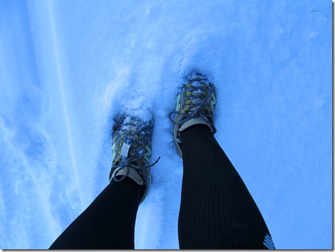
The run up Maple Springs Road was lonely and beautiful.  It was cold, with spots of snow here and there.  The creek ran slightly heavier than usual.  I bundled up to keep warm, wearing two pairs of shorts, two warm shirts, a beanie and gloves, plus my new compression socks which surprisingly do a terrific job keeping my legs warm. 

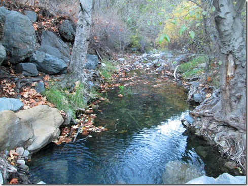
A pristine creek crossing on Maple Springs:

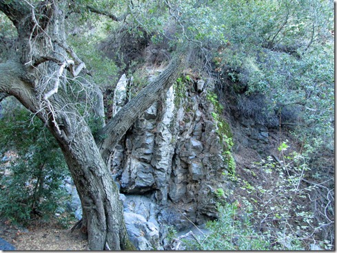
Admiring moss covered rock along the way:

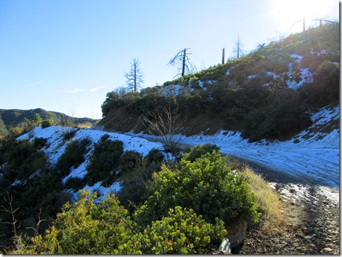
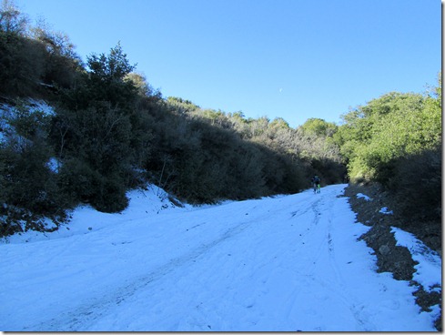
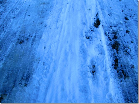
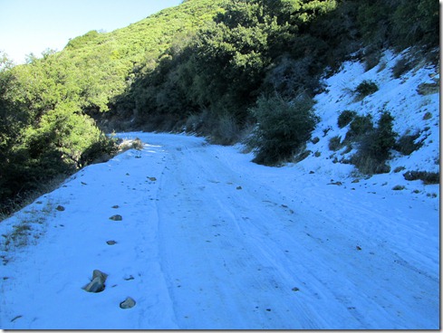
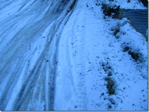
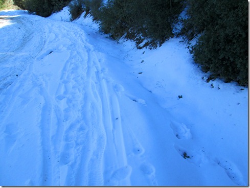
Very quickly, the road filled with snow and ice.  At first it wasn’t thick, but it was tremendously icy.  I learned almost immediately to run the trail edges, to stay in the white stuff.

white stuff (fluffy snow):  good

white stuff (chunky snow or with vegetation poking through):  good

Slushy mud: okay

ice:  bad, very bad

black ice:  (that is clear ice that you can’t tell is ice):  downright evil!

I met three mountain bikers making their way up Maple Springs.  One of them rode right up.  The other two struggled as I did, slipping and sliding, finding our way to make it through the terrain.  Two dirt bikers also passed by, and one of them slid so closely to me, I fretted for a second he was going to run me over, perhaps knock me off the mountain.

Gradually, more mountain bikers made their way up, the majority struggling.  And gradually I got my groove, having slipped several times, I made pretty good time “staying in the white.”  That is running in the fluffy snow that lined the trail’s edge.  Sometimes that meant running along the cliff, other times up against the mountain wall.  

I nearly made “Four Corners” injury free.  And then it happened.  I can’t recall exactly what occurred.  But I do know that I slipped.  And then I fell.  My previously injured right wrist slammed into the ice, as did my right butt cheek.  On impact I slid haphazardly down the road, stopping when I hit the white fluffy stuff.    I pushed myself up, brushed off the snow  and continued running up to “Four Corners,” which was full of mountain bikers, and empty of snow.

With only a mile and a half to Modjeska Peak, I figured I’d be running down in no time.  I fretted a little over going back down Maple Springs.  But my feet soon forgot that fret since I was now running on dirt, glorious dirt toward The Main Divide. 

It wasn’t long on The Main Divide when I hit snow again, ICY snow.  I’d run along, then the “white” would end and I’d need to run across a patch of dirt or carefully maneuver across ice to get to the fluffy white stuff.  I struggled, to say the least!

Eventually a man ran ran down The Main Divide toward me.  He must have seen the distress in my face, as this was all he said, “Stay in the white!!!”  Believe me.  I already knew that.  (But not well enough!)

I came across more mountain bikers on The Main Divide, some of them verbally worrying about the trip to Santiago Peak.  I phoned my husband (yes I got reception!) and I continued with one foot in front of the other, RUNNING.  A slow run, yes, but running nonetheless. 

Though only a mile and a half to Modjeska Peak from “Four Corners”,  I was alone for a long time.  A half mile distance probably took me fifteen to twenty minutes.  And then suddenly and surprisingly two other runners ran down The Main Divide toward me.  What a surprise!  We chatted trails together, exchanged names, and turned out, I knew one of them.   I am “virtual” friends with Self Inflicted.  Imagine that, we meet on a snowy mountain on a cold winter morning, seemingly in the middle of nowhere (funny thing is, I saw Self Inflicted’s run posted on Facebook and thought, “Too bad the meeting place is so far away, else I’d probably go.”)  Funny. 

Self Inflicted and Eric:

After departing Self Inflicted and Eric, the snow and ice thickened a great deal.  I ran down the middle “in the white stuff” when it ended, I found my way to more fluffy snow.  But due to a second’s loss of focus (YES, A SECOND!) I found myself running on black ice.  BAM!  My left knee slammed into that ice so hard, the first thing that crossed my mind was BROKEN KNEE CAP.  The solid smooth black ice broke and tore at my skin, drawing blood.  Instantly after the knee impact, my left wrist slammed down, allowing the ice to tear a chunk of skin off my palm. 

I could not move for a moment.  I had to get my “wits,” get some air back into my lungs.  Laying there on the ground I saw several mountain bikers slipping their way uphill, one of them straight toward me.  “I can’t move,” I said to him.  He continued heading straight toward me.  I didn’t realize that he couldn’t control his direction.  “I can’t move,” I said again (I really could not), but then realized that was moot.  I kind of slithered to the side as he slowed and made his way by me.  Several other cyclists came up behind him, all asking if I was okay.  I said that I just needed to get my “wind.”  But I stood up anyhow, so that they could see and be on their way without worry. 

Surprisingly, I was able to walk with minimal pain.  And even more surprisingly, I ran the last quarter or mile or so to Modjeska Peak.

Modjeska Peak was under direct sunlight and void of snow.  Santiago Peak from a far looked snowless, but I knew that trail up was shady and would be icy and snow filled as well.   I ran to the edge of Modjeska, past the small cluster of towers and took in the majestic views as a Sheriff’s helicopter hovered above.

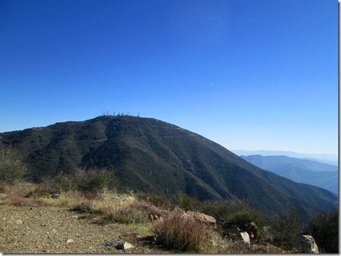
View of Santiago Peak from Modjeska Peak:

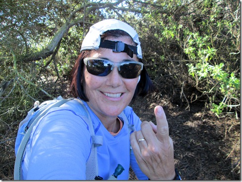
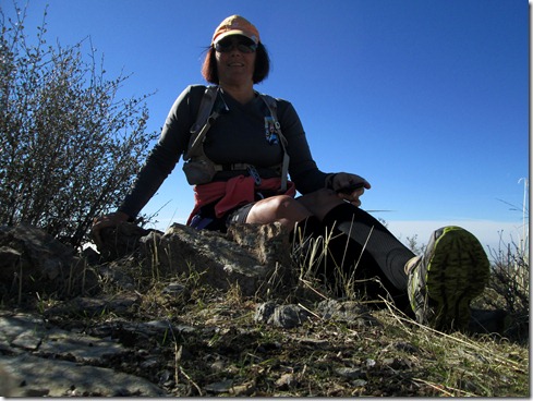
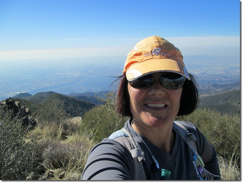
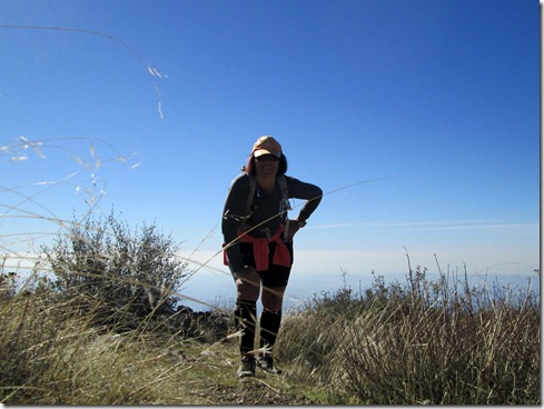
Some self-portraits from Modjeska:

I headed back down The Main Divide cautiously, but confident.  Mountain bikers making their way up, questioned me about the terrain, and I honestly told them, “It’s icy, it’s difficult.”  Some of them turned around.  Some of them made the trek.  And some of them made the trek to turn around a little later and meet me on the way down.

I met some more familiar faces from today’s adventure at “Four Corners.”  They headed down Harding Truck Trail on their mountain bikes, and I ran onward down Maple Springs.  I was an expert at running this snowy ice by now.  Don’t get me wrong.  I wasn’t cocky.  I ran yes, but I was cautious, and I focused. When I ran the snow-free, sunny part of the mountain I experienced pure joy.  What would have normally been hard was a relief.  And I thought, “Isn’t this just how life is?  You go through the hard parts, then later, other times don’t seem so tough.” 

With about 4 miles remaining, my knee ached pretty badly.  I didn’t want to take any ibuprofen however (for reasons that I may or may not bore you with later).  With about three miles remaining, hikers making their way up began asking me (again and again, seriously) “How far til the end?????” 

I thought to myself, “The end?  Where’s the end?”  I didn’t want to be a smart ass, so I asked, “The end of the paved road?”  They would say “Yes,” and I looked at my garmin and told them with a smile.  And as I ran that terribly long last couple miles in, I lamented on where’s  the end?  Is it “Four Corners?”  Is it Modjeska Peak?  Santiago Peak?  Ortega Highway? Heck you could keep going around the world and end up exactly where you’re at, and that’s the end.  When the last couple (a man and woman) asked me how much longer until the end, I had the urge to respond, “You are at the end.  You are at the beginning and at the end.” But I did not respond such.  Instead, I glanced at my garmin and told them, “two miles.” 

TIPS:  Where to run in snow & ice . . .

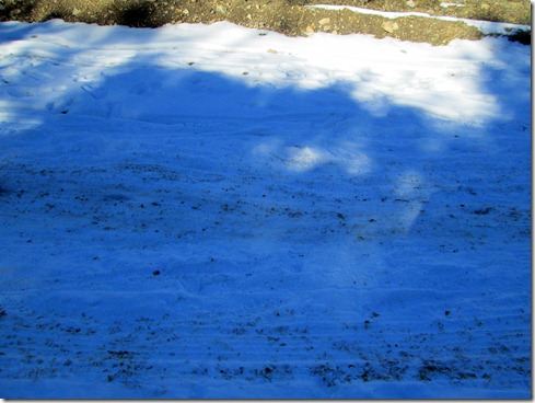
In this picture, don’t dare take a step on the sides of the shot, run right down the middle:

The middle of the road may look safe, but beware – it’s ice.  Run the far edges here:

Don’t even touch that brown snowy stuff on the left, it may be slushy, which is okay, but you are bound to hit a patch of ice, and down you will go!  Run the right.

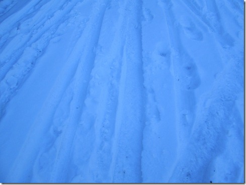
Stay in the white fluffy stuff:

Do not even step on this stuff (background toward edge is okay), but the rest will send you flying!:

Again, the white fluffy stuff, that is key:

Happy New Year!!