TALES FROM THE TRAIL (AND SOMETIMES THE ROAD TOO)

Showing posts with label Coyote Run. Show all posts

Sunday, September 16, 2012

I’m Not Proud (But I Didn’t Have A Choice)

After spending the morning with my family, I drove off to the coastal hills for a 1:00 PM trail run to finish off this “hard” week.  When I arrived the gates were closed, yet cars were parked in the lot and along the road.  People were also turning around their cars and driving back the way they came.  I pulled up next to the ranger who stood at the gates.  She told me the park was closed for everyone coming in.  There was a fire in Laguna Beach.  It wasn’t out of control.  But if it did get out of control and they had to evacuate the park, they didn’t want the trouble of evacuating too many people. 

As this kind woman spoke to me, my brain was elsewhere, thinking:  “Please stop talking.  I get it!  I just need to somehow sneak into the park, then I can stay.” 

“Okay, thank you.”  I smiled, turned around and drove off.  I thought of all the park entrances and decided that Top of the World would be my best bet.  So, I went on my way, taking about a half hour driving into Laguna Beach.  I could see smoke in the distance.  Then suddenly the traffic came to a near halt.  At this point I figured that the rangers could easily block entrance at Top of the World.  Then I remembered a way in that most people don’t think about.  There is a park in the neighborhood that Mentally Sensitive ends near.  So, off I was, driving approximately 5 miles an hour to my destination, hoping I could sneak into Aliso/Wood Canyons.  I had to run trails today, especially so close to The Taper.

I felt sneaky.  I felt selfish.  I didn’t really like what I was doing.  But I really wanted to get in this run.  And besides, I tried to justify, if anyone’s going to be safe and know what to do if trouble arises, it’s going to be me.

Before I continue, I should go into a little background for people who don’t live here.  October is fire season in California.  It has always been (Okay, it’s not exactly October, but it’s close).  Some Octobers we escape without fires.  Other Octobers we get clobbered.  A few years ago, my parents were evacuated in San Diego county from wildfires that burned down several neighborhoods.  Also, some years back in Orange County, we had some pretty bad fires, closing some mountain trails for a year or more. 

I remember as a child living near the foothills of the San Gabriel Mountains (L.A. county), seeing those mountains ablaze again and again.  Ashes used to fall down like snowflakes in our backyard.  Our car windows were coated with ash.  I guess you probably got the point that October is fire season, and that we are a little paranoid about it around here.  But more so, we are paranoid about it in Laguna Beach.  In 1993, during my senior year in college, Laguna Beach had a firestorm like no other that I can remember.  Other areas got hit too.  But Laguna Beach only has 3 ways out – Highway 1 South, Highway 1 North, and Laguna Canyon Road. 

We lived pretty close to the Dana Point / Laguna Beach border at the time.  Standing outside our apartment, we could watch for hours, miles and miles of headlights trying to escape the city.  A bright orange glow shined at the tops of the hills.  Ashes rained down everywhere.  Entire neighborhoods burned to the ground, 366 homes total and 17,000 acres in Laguna Beach alone.

The local community has very good reason to be paranoid about fires.  This is why I’m not proud of circumventing this paranoia so that I could run. 

The hills were smoking as I drove on today toward the park near Mentally Sensitive.  Dozens of firemen, dressed in heavy gear climbed the hillsides in 90 F degree heat.  A helicopter occasionally flew by to drop fire repellant. 

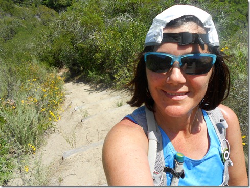
I finally made it to the street I needed.  It was blocked by police.  So, I drove around to get to the other side of the smoldering hillside.  I parked along the street, happy to see no law enforcement or fire crews, and ran into the city park toward Mentally Sensitive.  Before I arrived to the trail, I spotted Meadows Trail in the distance.  Three fire trucks were parked at Meadows’ entrance.  So, I wouldn’t be running down Meadows.  Thing was, Mentally Sensitive’s trailhead is visible from Meadows.  And so, I bushwhacked my way down the hillside so that I could reach my trail unseen lower down the slope.  Thing was, when I came upon my trail, I could still see the firemen.  I don’t know if they could see me, or if they even cared.  But I ducked, yes, I’m not proud.  I ducked as I ran along the trail.  If only I wasn’t wearing my dang orange hat.  Eventually I had to stand erect, the trail was so steep.  When I did, I didn’t look back.  I ran down Mentally Sensitive and didn’t ease up until the trucks were no longer in my sight.

I was in!  And unless they evacuated the park, I was going to stay in.  But I didn’t see anyone for at least three miles, so of course I worried that they had indeed evacuated the park.  Finally, I came upon some mountain bikers.  Later I came upon small groups of hikers, so I felt confident the rangers had not evacuated.  Unless the same ranger who told me they were closed saw me, and remembered me (dang orange hat), I was home free!  Just to make sure, I took a single track as soon as I could.  I ran Coyote Run, feeling pretty good physically.  But the heat was tough. 

In all I ran a ten mile loop.  I was supposed to run 12 miles.  I goofed, because I forgot to look at “The Plan.”  Therefore, I came in about 2/3rd’s of a mile short of my 72 weekly miles.  (My oldest son said that I should just run around the block, I laughed at that notion – smart boy, but this Mama’s done running for the week!).

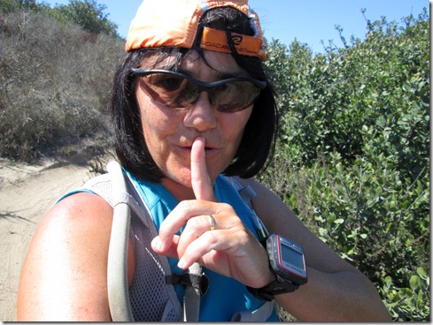
Shhhh (please).  Running down Mentally Sensitive:
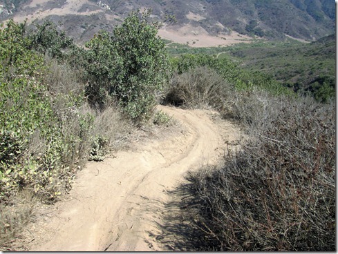
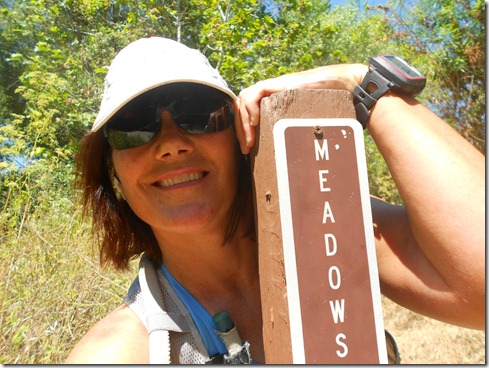
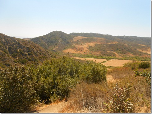
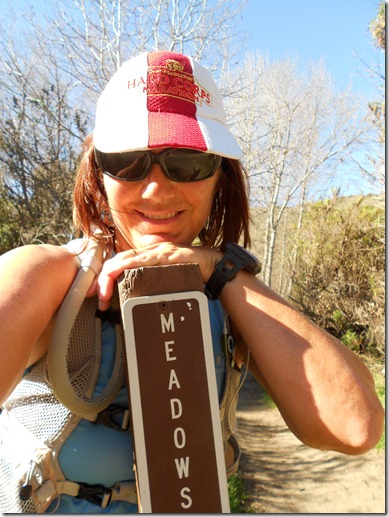
Finishing up Meadows, headed into Wood Canyon:
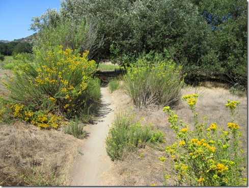
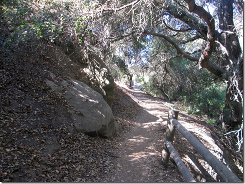
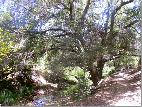
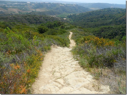
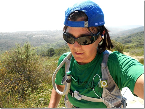
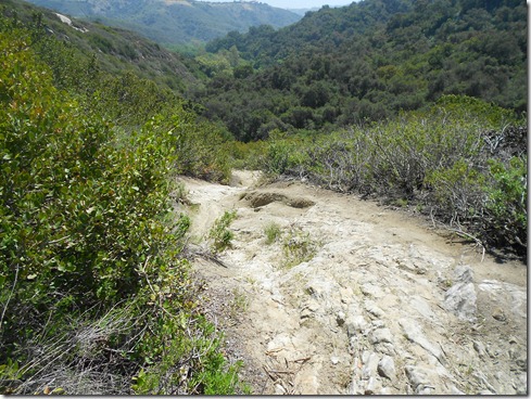
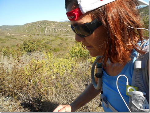
Coyote Run Trail:

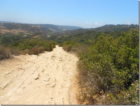
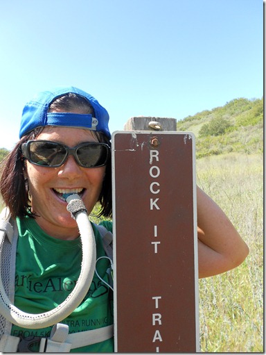
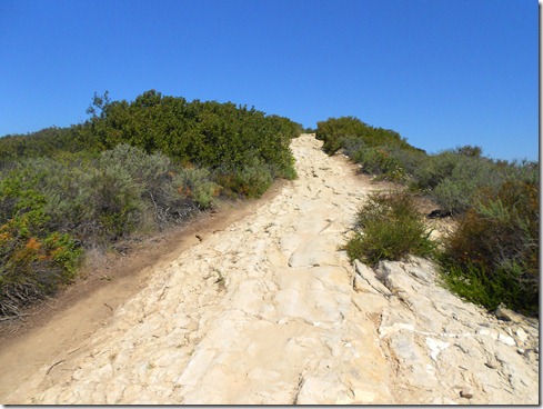
Running up Rock It Trail:
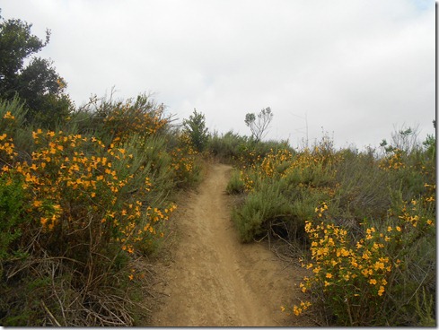
Headed back to my truck:

Wednesday, June 20, 2012

I Wanna Loop

The plan read ten miles for today.  With little gas and little cash I headed off to the closest trails – yes, Aliso/Wood Canyons.  Thing is, I don’t have a 10 mile loop there.  I have a 9, 9.5, 11.5, 12.5, 13, and 13.5 loop, but no 10 mile loop.  Sure I could have run an out-and-back, five miles out, five miles back.  Thing is, I’m a loopy lady.  I wanted a loop. 

Aside from preferring loops, I’m a bit lazy.  I know that sounds a little weird.  How can someone be lazy who runs all these miles?  Believe it.  It can happen.  Take this case for example.  Even though I know the mileage of every trail in Aliso/Wood Canyons, I guessed (once again) a ten mile loop instead of actually adding the mileage.  Adding, boy that’s tough!  : )

I didn’t want to run laps around the parking lot when I was finished to make my run ten miles.  I didn’t want to run any add-ons and end up on some scary trail like last time I tried to make a ten mile loop in this park.  So I was sure to guess a loop that was at least ten miles, at most a quarter to half mile over. 

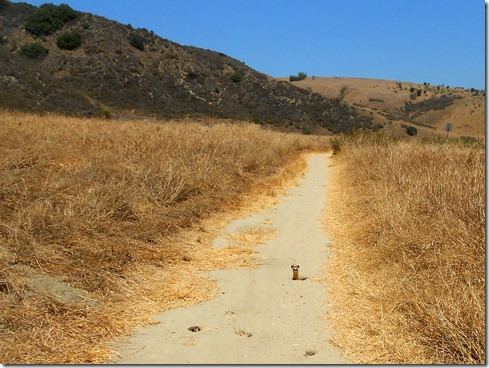
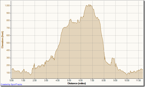
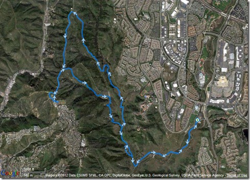
Turns out I ran a 11.28 mile loop.  And I finished it up strong.  Yes, I am gradually seeing improvement in my strength and a little in my speed.  I’m still am on the hunt for a good ten mile loop though.  Good thing is, today I got to run one of my all time favorites, Meadows Trail, and I also ran up to Top of the World.    And at the very end of my run (with about a mile to go) the cutest little weasel stuck his head above ground right in front of me.  We made eye contact.  I snapped a picture, and then he was gone, back in his hole.

My routine picture:

Running up Meadows Trail:

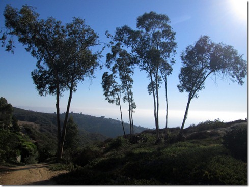
Top of the Meadows Trail overlooking the Pacific Ocean:

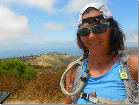
Salty & sweaty at Top of the World:

Rock It Trail:
Coyote Run Trail:

Pop goes the Weasel:

My Activities Meadows, Rock it Loop 6-20-2012, Elevation - Distance

Friday, May 11, 2012

2012 Quests

Unlike previous years, I did not decide on my races or any other running goals at the beginning of 2012.  It has taken me until May to mark out my quests for the year.  Some of them I have already conquered – of course Calico, my favorite race of the year, Horsethief Repeats, Meadows Repeats, Big Baz’s 21k and his SJT 50k as well.  But more than half of 2012 remains.  And thus, I decided to get my “list” down.

These are my quests for the remainder of 2012:

1) Tides to Towers Run (A run from my house down to the beach to the Towers on Santiago Peak) 29+ miles

2) A Tides to Towers and back to Tides Run, 58 miles

3) Nanny Goat’s 24 Hour Trail Race, end of May, to benefit the Wounded Warriors (see right top Current Project for my pledge page)

4)  Camp Pendleton Mud Run; I had sworn off mud runs a while back, but with two friends running it, I decided to go ahead and get muddy in 2012.  Plus, Camp Pendleton has great runs.

5) Twin Peaks Ultra, 50 miles in the Saddleback mountains with 15,000’+ of elevation gain (yikes).  I’ve got some time – October 13.

6)  Not sure yet, but if I can afford it, I have an “F” (as in DNF),  that I’d like to make up by running the Bulldog 50k in August. (This will take some heat training).

7) And though I’m not yet registered, I definitely plan on running the Saddleback Marathon again this year in November. (This is my 2nd favorite race of the year).

8) And finally . . . run 2,000 annual miles.

As far as number of races, 2012 does not have a great number, especially compared to previous years.  But the overall difficulty of my quests is much greater than all my trail running years combined.  I need to get into the best shape of my life for Twin Peaks, which calls for some life adjustments, which I can gladly make, but lack the discipline thus far.  Yes, I’m 47.  But I can get into the best shape of my life because you see, my prior “best shape of my life,” I was in my late twenties and a non-runner.  I would do anything NOT to run.  And though I was a swimmer back then (5 days a week, 5:30 in the morning before work) and did aerobic dance in the evenings, I was also immature (very) and I was a SMOKER.  Therefore, I think I can smoke my prior “best shape in my life.”   I am not questing the impossible.

The week after Nanny Goat, I will begin a rigid training plan to get myself ready.  I hope to drop 20 pounds by the end of summer as well, and get myself on a diet richer in fruits and vegetables. 

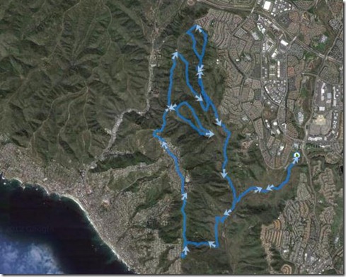
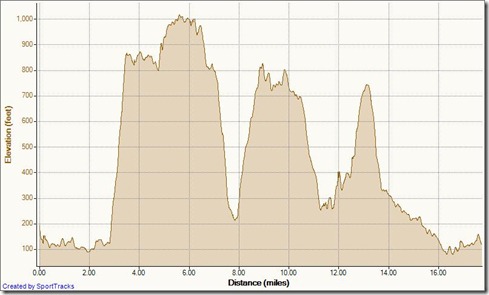
Twin Peaks is why I’m running runs like I ran this morning (and this afternoon – I got a late morning start, and didn’t finish until about 2:30 pm).  My plan for today’s run:  up and down, up and down, up and down, up and down.  I ran up steep inclines, ran down technical downhills, then back up again.  I pretty much zig-zagged Aliso / Wood Canyons (though the satellite doesn’t look much like a zig-zag).  I enjoyed myself immensely.  More importantly, I planned my fluids perfectly.  And even more importantly than that, I finished with “gas still in the tank.”  That means I CAN WORK HARDER.  I just need the discipline to push myself more. 

Scenes from my 18 mile zig-zag run through Aliso/Wood Canyons:

Running up Mentally Sensitive (the first incline on the elevation profile below):

Enjoying the ridiculously steep run up:

Top of the World after clothing adjustments and a snack:

Chased this gopher snake down on Park Avenue Nature Trail (sorry little buddy, I just wanted a picture):

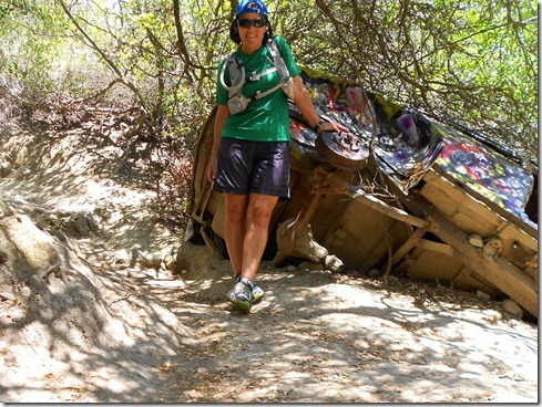
Running down Car Wreck Trail:

Running up Mathis:

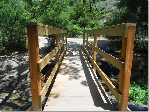
A Brand New Bridge on Coyote Run Trail:

Running up the steps on Wood Creek:

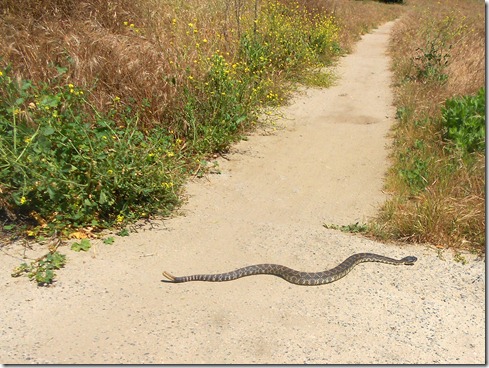
Just in time to snap a photo of this rattler on the final stretch of this 18 mile run (last mile, on Aliso Creek Trail):

Satellite:My Activities Aliso Wood Zig-Zag Loop 5-11-2012

+3,027’ (922.63m) elevation gain / 18.03 miles (29k):My Activities Aliso Wood Zig-Zag Loop 5-11-2012, Elevation - Distance

Friday, April 20, 2012

Recovery Run #2

Okay, I need two recovery runs.  Such is life with me.  Good thing is, I think I’m probably 90% back.  My legs did not feel extremely heavy (& unfortunately I didn’t lose any weight to explain that).  Not only that, I didn’t dread today’s warm-up, PLUS, I came in strong after a 11.5 mile hilly run. 

A new lollipop loop came to mind last night that I don’t think I’ve run in my regular wilderness park before.  I believe something new was good for my recovery.  Funny, I guessed this newly concocted lollipop loop was about 9 miles.  I was a little off. 

Some high (or rather low points in today’s run), I was nearly wiped out by two mountain bikers hauling a** down Rock It Trail.  They were for sure travelling more than the 10 mph speed limit.  I had to jump off the trail to avoid one mountain biker.  The other one, fortunately, I could hear her brakes before a possible collision.  Sorry, but I think it’s crazy to travel that quickly down these steep trails.  A wipe-out could mean death for the rider, for sure a SERIOUS injury.  I shiver to imagine what a collision with a runner would mean.

Also, two Sheriff helicopters hovered nearby for the first hour of my run.  I discussed the possibilities with another runner as we ran up Rock It trail.  We both agreed that the problem was probably on Lynx Trail, OR, as she said, “there was a killer loose.”  Her comment cracked me up because that’s exactly one of the scenarios that runs through my mind when there’s helicopters hovering above my trails.

Anyway, I heard later from another mountain biker that a cyclist was seriously hurt on Lynx Trail.  That’s another super steep, rocky terrain that mountain bikers generally take rather quickly.  I couldn’t help but wonder if the injured biker was travelling too fast. 

On my way back down from Top of the World, I passed the fire truck and paramedic that was presumably transporting the injured to the nearest hospital (which would have been South Coast in Laguna Beach).  The enormous trucks slowly made their way along West Ridge toward Top of the World.  And from far away, the fire truck actually honked several times, as if perhaps I didn’t see him.  Let me tell you, a big red fire truck travelling along the ridge of Aliso/Wood Canyons wilderness park is hard to miss.

I hope the best for the biker.  Really.  But I do wish some of the mountain bikers would slow down a bit travelling some of the steeper trails.  As a precaution, I always turn the music down very low when travelling these trails.   

And now to the photographs.  I gave myself lots of leeway to take pictures today.  Since I this was a recovery run, I figured quick stops to take a photo would do me good toward getting back to normal.

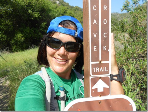
Entering Cave Rock Trail (not my usual route, a long neglected trail):

A Look Back onto Wood Canyon while Running up to THE rock:

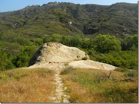
Thar she blows – THE rock:

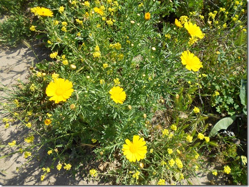
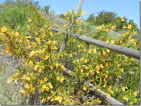
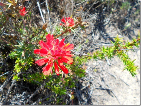
Flora along Wood Canyon Trail:

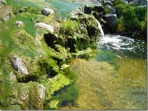
Creek Crossing on Mathis as I make my way to Coyote Run Trail:

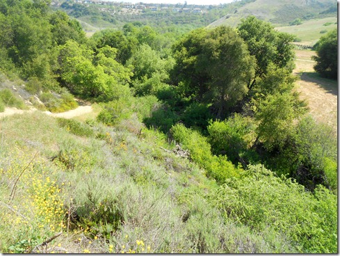
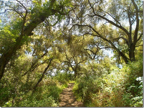
Lovely Coyote Run:

Time to Climb:

Flora along Rock It Trail:
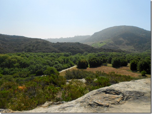
Why they call it Rock It:

Up, up and away (in my beautiful balloon) – can someone please remind me to wash the salt off those glasses?  LOL  I actually wash them quite frequently:

Running down Car Wreck Trail, a fun technical run:

A Stop at the Wreck:

Finishing up Car Wreck Trail to begin Oak Grove Trail:
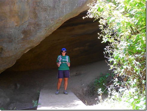
Arriving to Dripping Cave (AKA Robbers’ Cave), First Thing, Check the Cave for Snakes:
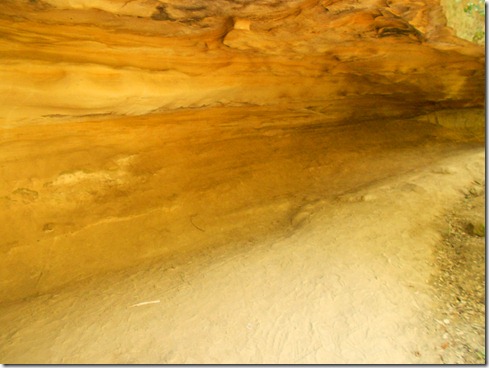
Reach for the Sky, Cowboy! (Dripping AKA Robbers’ Cave):

11.5 miles (18.51 km) run today, the last day of my recovery Smile:My Activities Rockit, WestRidge lollipop loop 4-20-2012, Elevation - Distance

Lollipop Loop from Above:My Activities Rockit, WestRidge lollipop loop 4-20-2012

Thursday, January 26, 2012

All of the Above

Day 37 of Streaking into the New Year I had the notion of doing a scouting run.  I set out on the pavement headed toward a local bike trail to see if it would eventually lead to Aliso/Wood Canyons Park.  Oh, about 3 blocks into this run, I thought to myself, “That’s quite enough of that!”  I felt extremely fatigued, both mentally and physically.  I can usually handle physically because I often get over it.  But MENTALLY fatigued so early???  Nope.  I didn’t have the power to revive the mind, so I set out for the minimum required for this “streaking” game.  I ran the bluffs above the harbor, then down to the harbor (but not into the harbor), and back home, ending up running more than the minimum (3.08 miles/4.99 km) and feeling better for it

Day 38 of Streaking into the New Year I got myself a FULL TANK of gas.  I didn’t want to behave extremely wasteful, so I drove to the closest trails for some dirt.  Who am I kidding?  I would have chosen Aliso/Wood Canyons today regardless of my gas situation.   And keeping with my nature that I “don’t know when to stop,” and “like to torture myself” (though I don’t) and that I’m “a bit off, if not darn right crazy,” I was drawn again toward Mentally Sensitive.  Perhaps it was the day that one of the rangers chuckled and said, “No one’s running up that trail,” that set me off to run Mentally Sensitive as much as possible.  Maybe it’s that fact that this trail straightens out the brain in a jiffy.  Of course it could be the gorgeous views it supplies.  And it could be that the trail is EMPTY.  Maybe it’s because I like slipping backward occasionally.  Or perhaps it’s simply because I like to say that “I did it.” 

Actually I think . . . No, I know, it’s ALL OF THE ABOVE. 

Running trails.  LOVE IT.

My run today:

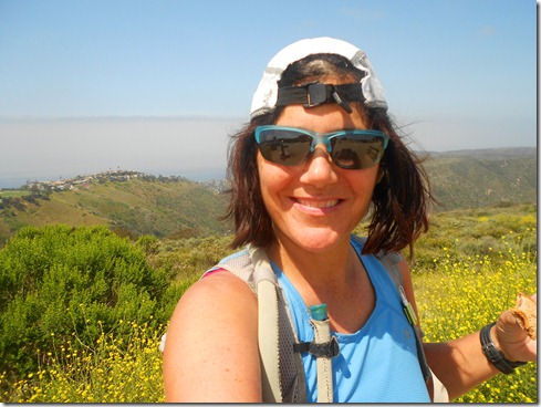
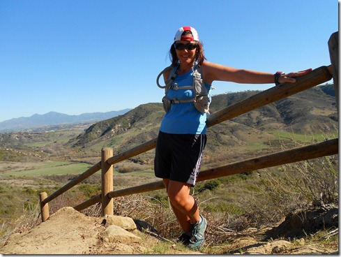
Back in one of my many favorite places – Entrance to Meadows Trail.  I had to think up a newish pose since I click so many pictures here (the more I look at this pose the more critical I am of it and think I won’t do it again – note to self, need to come up with better poses.)

Struggling up Mentally Sensitive (but loving it), though I was a little disappointed over the physical fatigue that hit very early on.  (I kinda look like an old lady here, limping along – just my initial thought.  Still I put the picture in.) ps.  I wasn’t actually limping.

Perhaps half way up Mentally Sensitive – See, I’m still smiling.  (Do you think maybe my favorite color is blue?  Blue shoes, blue shorts, blue shirt LOL).

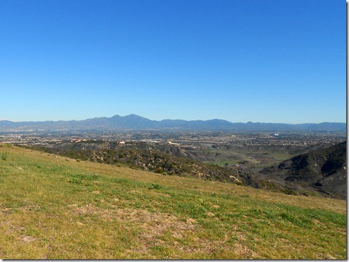
Top of Mentally Sensitive, running toward top of Meadows and onward to Top of the World – of course, I must snap a picture of Saddleback Mountains (Modjeska Peak is the highest point on left, Santiago Peak is highest point on right):

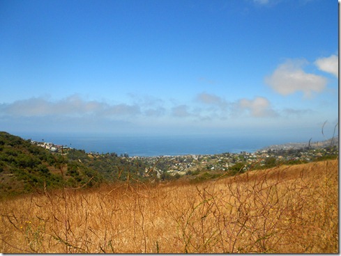
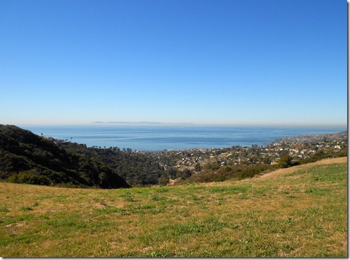
Top of Meadows looking down onto Laguna Beach and Pacific Ocean (notice Catalina Island if you look closely):

Top of the World.  The PRIZE!

Running down Rockit with a view of Wood Canyon.  Three to four miles remain of this run:

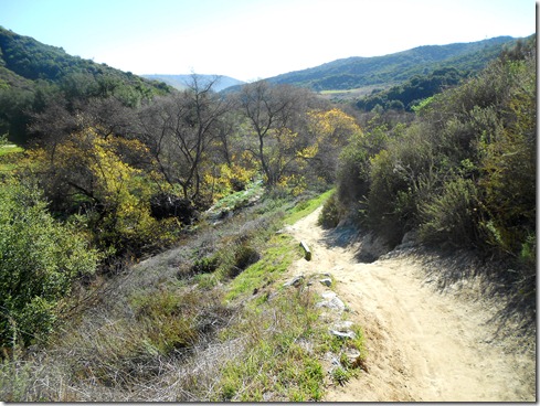
Approaching “The Final Stretch.”  Running Coyote Run Trail, which hits Mathis for a creek crossing.  Then I was back onto Wood Canyon Trail for a little over 2 1/2 miles to the finish.  Smile  I was tired:

I ran a 12.01 mile loop today (19.33 km) with this elevation profile:  My Activities Long Run 1-26-2012, Elevation - Distance