TALES FROM THE TRAIL (AND SOMETIMES THE ROAD TOO)

Sunday, July 17, 2011

The Hills are Alive

The only way right now to get heat training in the coastal hills of The O.C. is to run in the afternoon.  So I hit the dirt at Aliso/Wood Canyons at 3:30 PM today, Sunday.  And it was HOT.

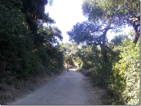
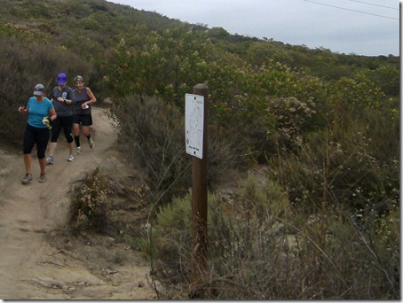
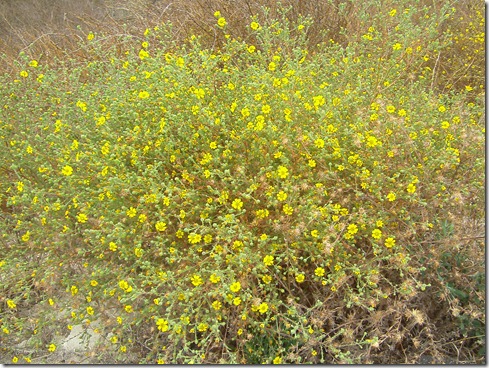
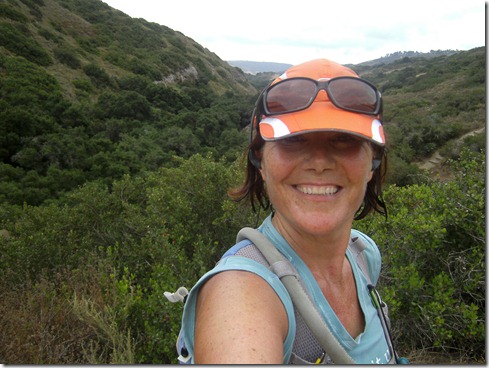
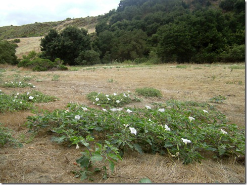
It doesn’t look hot . . . SANYO DIGITAL CAMERA

But it was HOT!  There were lots of runners in these hills.  Streams of bikers flew down hills.  Hikers hiked these hills clothed from head to toe in this weather – lots of them using hiking sticks.  The hills were alive with people, something I rarely see on my morning runs.

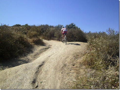
This guy is good!  (Cholla Trail)SANYO DIGITAL CAMERA

Though it was hot, I caught a breeze here and there.  And not only that, I could bare the heat!  Sure, this wasn’t Texas heat.  But it was still HOT, and I was not miserable.  I enjoyed my run.   My body temperature never increased more than a half degree.  I don’t want to speak too soon, but I do believe I’m getting my hill training back, and I am getting there with the heat training.  Wonderful.

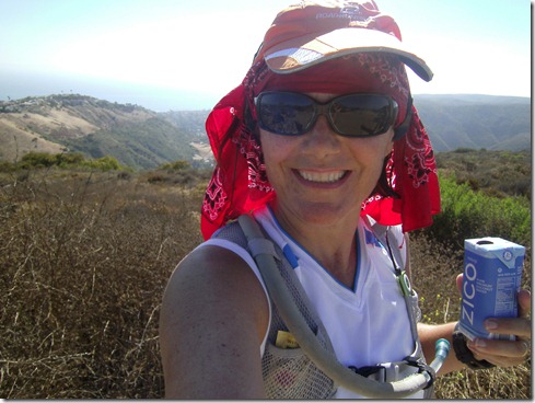
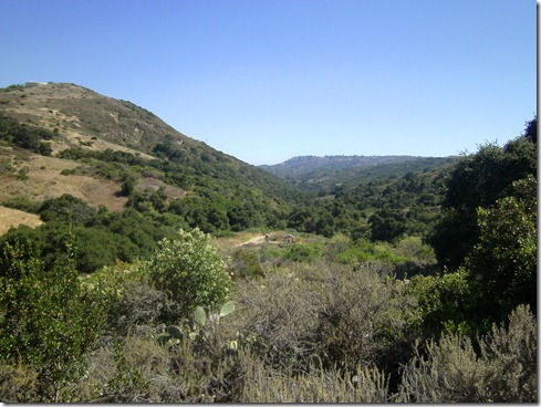
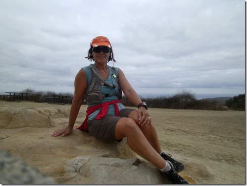
Top of the World, Pacific Ocean behind meSANYO DIGITAL CAMERA

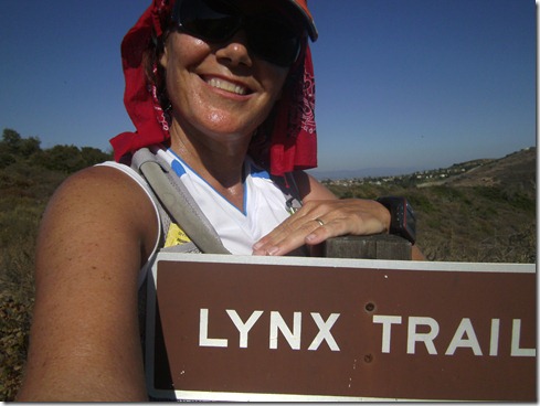
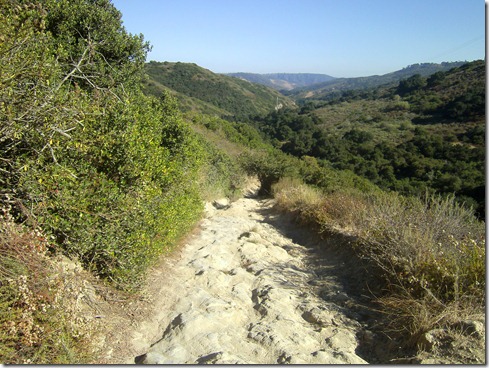
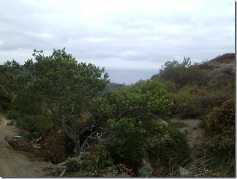
I needed something a little different running back to the car.  A good 90% of the time I run this park, I run down Cholla.  Today, I decided to run down Lynx Trail, a much neglected trail by myself.  It was rocky, it was hot with very little shade, and it was lovely.

A pose before running down LynxSANYO DIGITAL CAMERA

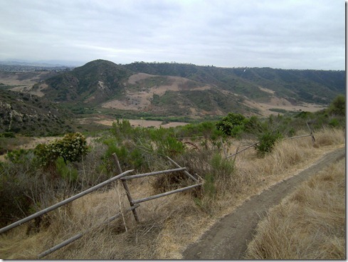
Lynx TrailSANYO DIGITAL CAMERA

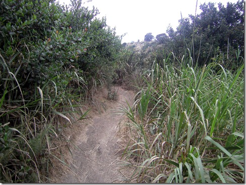
Ending up run on Wood Canyon TrailSANYO DIGITAL CAMERA

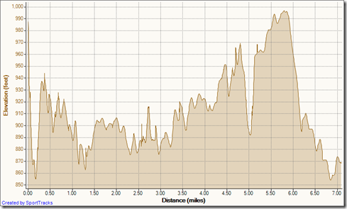
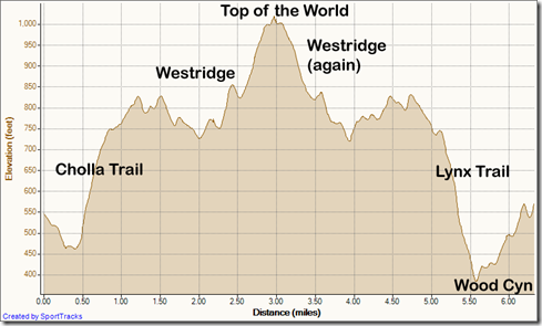
6.34 miles run today Smile (10.20 km)

My Activities out and back westridge - down lynx 7-17-2011, Elevation - Distance

Group Running

Saturday morning I woke early to join a group run (from OCTR) at El Moro (between Newport Coast and Irvine, overlooking the Pacific Ocean where the waves splash down on the Crystal Cove beaches). 

There were several runners to start as we ran the rolling hills of Bommer Ridge.  Soon we split into distance groups.  I went off with the main group, five runners all female for the planned loop where we ran off onto Moro Ridge then hopped onto the single track Missing Link and then Fence Line back to Bommer Ridge. 

The weather was cool and overcast, the company delightful.  We joked and laughed.  And though I put in 12 miles of some tough hills the day prior, I was able to slowly run up all the hills on this loop.

Back at the trailhead, we chatted and laughed some more.  Then I took off alone down No Name Trail to run approximately 1 1/2 miles more, simply because I like the number 5 better than 3.5 (silly me : ).  I met up with two other runners from the starting group as they made their way into the trailhead. 

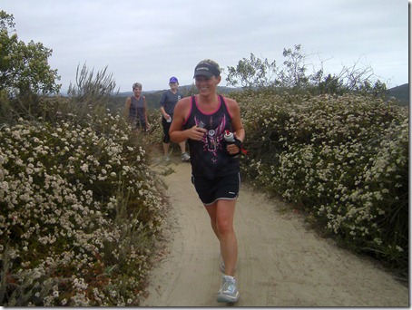
Jessica Deline leads the groupSANYO DIGITAL CAMERA

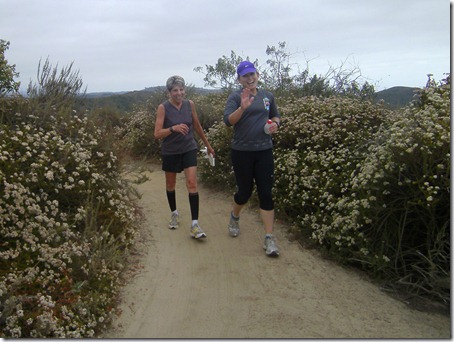
Running Missing Link (sorry, I don’t recall names Sad smile)SANYO DIGITAL CAMERA

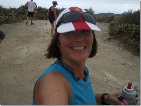
Quick self-portrait before heading onto Fence Line TrailSANYO DIGITAL CAMERA

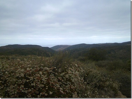
Overlooking the park and the Pacific OceanSANYO DIGITAL CAMERA

Finishing up Fence Line (one of these days I might remember where I know the front runner in picture from, as her voice was distinctly familiar to me, and we chatted comfortably like we had known each other for a long time).SANYO DIGITAL CAMERA

Miles run Saturday morning:  5.42 (8.72 km)

Elevation Profile:  +604 ft / – 539 ftMy Activities Crystal Cove 7-16-2011, Elevation - Distance

Friday, July 15, 2011

California Girl (Ah well, lady)

SANYO DIGITAL CAMERA           I’m back.  Back in California, that is.  My home.  Texas was a pleasure.  And there are a lot of wonderful things about the state.  But I am a California girl – born and raised.  This is where I’m gonna stay, even if the economy here wants to push me out. 

I planned on returning to the trails the day after we landed in California.  But surprisingly, with only 2 hours time difference, I had to deal with jet-lag.  That prevented my routine for just a day. This morning, I was pounding the dirt at 6:30 AM. 

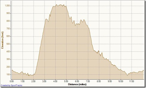
Just a couple of observations to jot down about my first run back.  As a special delight, I came upon twelve (12!) bunnies in the first half mile.   Also, I learned that it’s much easier to heat train in really hot weather, as opposed to wearing warmer clothing.  The trails were rather humid this morning.  And I could only take wearing the long sleeves until about 2 miles in.  That’s when I flung off my shirt drenched in sweat and tied it around my waist.  The hills were tough, especially Meadows Trail (the steepest climb on the profile below).  Lastly, so happy I was to run my trails, I snapped, snapped, snapped the camera away.

This is just a little of what I experienced:

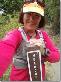
Climbing MeadowsSANYO DIGITAL CAMERA           SANYO DIGITAL CAMERA

Summer bouquet running ridge to Top of the WorldSANYO DIGITAL CAMERA

The Pacific Ocean in background (a wonderful trail marker if needed)SANYO DIGITAL CAMERA

Posing at Top of the World before running WestridgeSANYO DIGITAL CAMERA

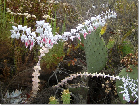
Exotic bloomSANYO DIGITAL CAMERA

Climbing Wood Creek Trail (Wood Canyon in background)SANYO DIGITAL CAMERA

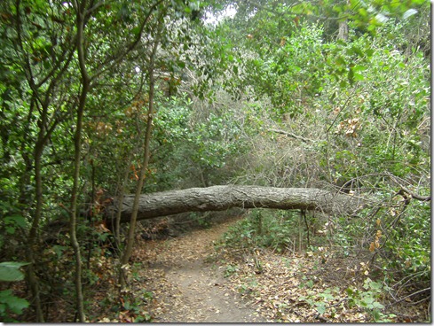
Fallen tree on Wood Creek TrailSANYO DIGITAL CAMERA

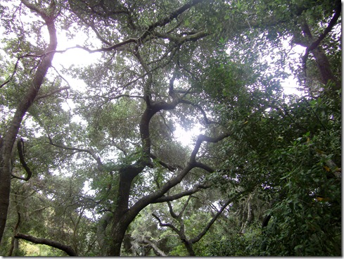
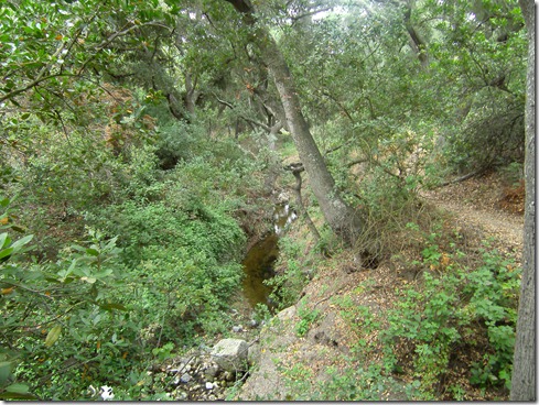
Wood Creek TrailSANYO DIGITAL CAMERA

SANYO DIGITAL CAMERA

Heading back on Wood Canyon TrailSANYO DIGITAL CAMERA

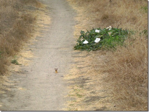
Ferret sticks his head above groundSANYO DIGITAL CAMERA

Miles run this morning:  12.10 (19.47km)

Elevation Profile:  (route:  Aliso Creek Trail, Wood Canyon, Meadows, Top of the World, Park Avenue Nature Trail,  Westridge, Cholla, Wood Canyon, Wood Creek, Wood Canyon, Aliso Creek)

Aliso Wood Cyns Big Loop Clockwise 7-15-2011, Elevation - Distance

Monday, July 11, 2011

Lake Mineral Wells

Truth is hubby was extremely nervous dropping me off for my trail run in Lake Mineral Wells State Park.  The plan was, my youngest and middle boys, nephew and sister-in-law along with my husband would dig for fossils about ten miles away, and I would meet them later IN Lake Mineral Wells. 

I felt a little insulted by hubby’s worry, I mean, really, Glen Rose was a fluke for me.  But I needed Glen Rose (Dinosaur Valley).  I learned A LOT.  So, while I still cringe a little when I think about Land of the Lost, I know that the experience did me good.  Still, that embarrassment and worry that my husband suddenly seems to posses about me running trails persists.  I imagined while driving into the ranger station at Lake Mineral Wells my photograph hanging on their wall – “Do not let this woman in your park.”

Their map seemed extremely straight forward – lots of equestrian trails, just ONE single track that I would take to some “primitive” campsites. I even stopped and talked to the ranger about the map.  She was a “tough cookie” with straight forward answers. 

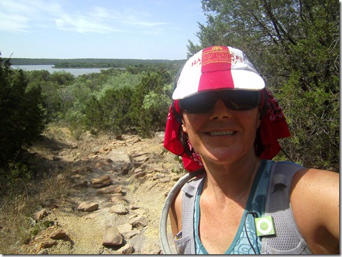
Posing for hubby at trailheadSANYO DIGITAL CAMERA
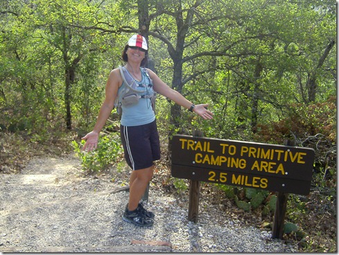
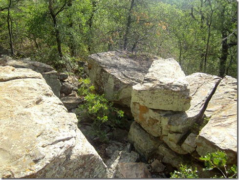
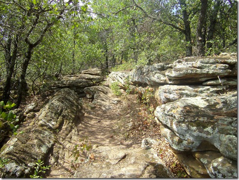
The trails were serene, shady, gorgeous, HOT, and downright humid.  I took the first half-mile of trail giddy, so delighted I was with the rugged terrain.  Boulders covered with greenish lichen littered the trails.  In some cases the boulders were laid out like a staircase. 
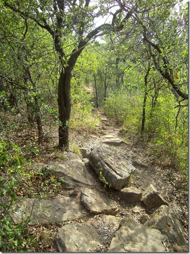
SANYO DIGITAL CAMERA

Not a half mile in, this supposed ONE-TRAIL single-track system forked!  Okay, okay, I told myself, “Let’s learn where you’re at!”  So I ran one fork down until I came upon a huge boulder in the trail.  I thought that was a good landmark to turnaround and go back to the other fork.  There the trail climbed up rocky terrain to a series of wood signs with arrows!  Glory, glory!  You can be sure that’s the trail I ran. 

Soon the arrows ended and a web of trails began to branch off of the supposed ONE trail.  You can imagine my thoughts.  I took care to realize my every surroundings.  I memorized my footprint, often stomping into the dirt to refresh my memory what it looked like.  And at forks, I marked them with two horizontal branches (small ones that I broke apart) and then one pointing in the direction that I was running.  I studied the map closely before it deteriorated and counted the number of times I should cross an equestrian trail.
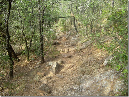
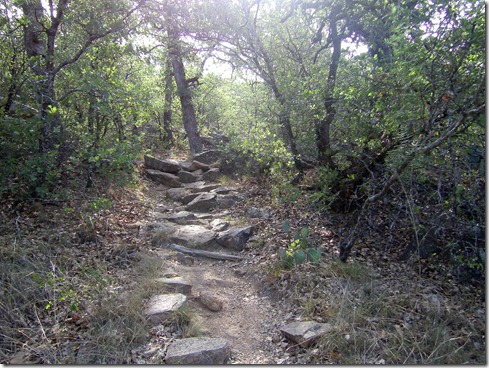
SANYO DIGITAL CAMERA

SANYO DIGITAL CAMERA

SANYO DIGITAL CAMERA

SANYO DIGITAL CAMERA

I made it to the “primitive campgrounds” after crossing the appropriate number of equestrian trails, feeling very warm.  My temperature was only 1.1 degrees above normal.  I witnessed 2 White-Tail deer run by at surreal speeds, amazed that they didn’t smack into a tree.  I also crossed two bridges over dry creeks and did not see a single camper in this wilderness campground.  (Though on the way in, I saw a hiker with a hat and towel draped over his head and a backpack on his back).

Crossing bridge into “primitive campground”SANYO DIGITAL CAMERA
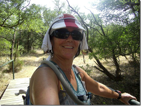
I can guess why no one was camped at this “primitive” campground.  It was no where near water, the creeks were dry.  And to hike food, tent, water, etc., would be a terrible burden in this summer heat. 

The campground was a double loop, kind of like rabbit ears.  And at one point on my run out of the campground, I found myself running in an area I didn’t recognize.  Quickly turning around, I fast came upon one of my markers at the side of the trail pointing the direction.  I LOVE IT WHEN A PLAN WORKS.

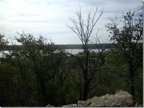
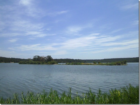
I ran back to the trailhead feeling good about my direction, noticing many of the landmarks I had committed to memory, except for one portion.  This part of the trail had no lake view (which is an awesome direction marker) so I searched the floor for my footprints going in the other direction and quickly found them.  Off in the distance, two more White-Tail deer ran through the forest at crazy speeds.  And off I ran, all the way to the trailhead, where I ran along the road, across the damn and to the “beach” where my family was swimming after fossil digging.  I was so dang hot, I took my shorts off right on the beach and quickly pulled on a pair of “board shorts”.  Yanking off my pack, hat and garmin I swiftly made it across the burning sand into the lake. 
SANYO DIGITAL CAMERA

SANYO DIGITAL CAMERA

SANYO DIGITAL CAMERA

A lovely, successful run.

Miles logged today:  7.10

Elevation Profile:Mineral Wells State Park 7-11-2011, Elevation - Distance