I have broken yet another camera. But this wrecked camera is not accompanied by some dramatic event. I did not fall off of a cliff and toss it in the process. The wind did not blow it off a post. The zoom just refuses to open. And alas, I will not be purchasing another anytime soon -- expenses are astronomical right now, and I wouldn’t feel good about purchasing myself a camera (as low priced as they are). With a son just graduating high school, it’s like we’ve been throwing money by the handfuls out of the house: prom tickets, tux, Senior Disneyland day, Grad Nite, senior pictures, announcements, cap and gown, tassel, replacement for ruined Calculus book, college enrollment deposit, dorm housing deposit, oh my gosh -- it’s mind boggling (plus we have music lessons for all the boys, dental appointments, dermatologist appointments, not to mention the house is in desperate need of a paint job.) So! There will be no new camera for me. Not to worry, because I hear these things that are glued to our palms (otherwise known as phones) have pretty good cameras inside them. 
Needless to say, I did not get off to as strong of a start that I had hoped with my classes ending. I’m now on break from two of my schools, returning to one of them shortly. You would think I have more time. I suppose I do, but then again, there’s more to get done (did I mention the house needs painting?) And the more and more I neglect working on my physical strength, the more depressed I grow. I have only lost about three pounds, and in my morose mood, I grow even more so in reflection. It dawned on me this week that I have the exact same issues with myself that I had when I was sixteen years old. I can’t tell you how disappointing and sad I was in realizing this. Blah! Just breathe and go forward, I told myself. Don’t reflect, just stay in the moment and BE. That’s all I can do. I don’t know what else to do, but keep on trying -- forget about the failures, forget about my multitude of shortcomings. Just take a step forward.
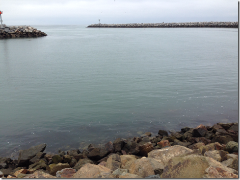
So, Tuesday, the 30th of May, when the boys were still in school (they are out for the summer now), I got in a short run down at the harbor. That’s something I want to do now, that is, get back to road running to try and gain some speed. It was tough as hell though, even with the weather cool and overcast. Three miles, I told myself, that’s all you gotta do. It was not fun. I should have worn a hat, as sweat from my head ran into my eyes. The first few minutes pounding the sidewalk were torturous. Really, I felt like my legs were lead, and my breathing wasn’t under control. “Don’t worry,” I assured myself, “it will get better in just a little bit.” As bad as it is to begin any run, it always improves with time. And yes, I did feel a little better after a half mile or so -- but I never felt good. It was tough the whole way, which I account for staying at a much quicker pace than I ever run, the entire route. (3.27 miles)


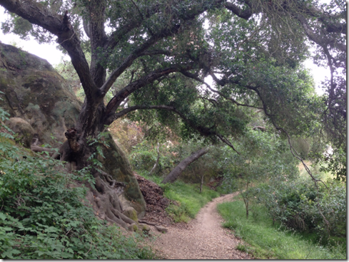
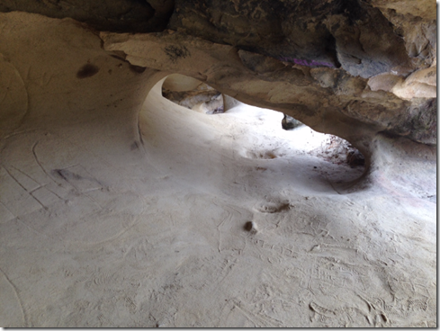
 The next day, May 31, I took to Aliso/Wood Wilderness for a stress-free hike (with very little running) through Wood Canyon. The weather was overcast again (June Gloom). And I really had a fine time, mainly because my route was lonely, and I took some side routes. Beginning in Wood Canyon, I took Coyote Run Trail to Mathis, and from there I caught Dripping Cave Trail. I haven’t seen Dripping Cave for quite a long time. Nothing much has changed at what is sometimes called Robber’s Cave. It was cool, overgrown and quiet. I enjoyed the short visit in the cave, and marched off back into Wood Canyon for another side route called Cave Rock. After climbing to the top of the big rock, I hiked down to the other side of it (the side that does not face Wood Canyon) and spent a short while in the small caves hidden there. Back to Wood Canyon, I made it to the end (where it hits Aliso Canyon) and headed back to my truck, taking Wood Canyon its entire length. Total trip: 8.02 miles
This brings me to yesterday, Thursday, June 9. I set out late in the day, around noon, and it was actually cold enough to wear a long sleeved shirt over my t-shirt. I had just been so disappointed in myself of late, that I opted for the BIG loop in Aliso Woods. I didn’t really care if I grew utterly fatigued. In fact, that’s exactly what I wanted. I just wanted to march in the wilderness and let my mind be free from baggage. The Big Loop is 12 miles long, with the following route:
From the ranger station, Aliso Canyon to Wood Canyon; Wood Canyon to the end, then up Cholla Trail to the ridge; West Ridge to Top of the World to exit the park; re-enter near Meadows Trail; take Meadows back down to Wood Canyon, and Wood Canyon to Aliso Canyon back to the truck.
 As far as journeys go, the twelve miles were uneventful. And that was wonderful. The weather remained cool through Wood Canyon. The trek up Cholla was difficult and warm. The trek up the rolling hills of West Ridge had some company (several hikers and a few runners). By then the clouds had cleared and I had my long sleeve shirt tied around my waist. The trip to Top of the World was quite tiring, but I was not miserable.
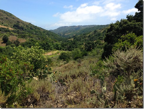
 The construction on the trail leading back into the park was finished. I was surprised to see they had put in so many steps, and even a hand rail. I much prefer the old rugged trail. But I had that one for a good long while, and I suppose less people will be injured on this new, clean trail.
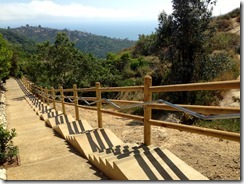 Travelling down Meadows proved to be difficult, as much strength was needed on my part to remain upright. Some might think that traveling downhill is easy. Well, it’s easier than uphill, but not exactly easy. Much focus is needed to refrain from falling, not to mention that core strength (that I have so very little of) to remain standing after little missteps and such. I came up on a beautiful ribbon snake (black with yellow stripes on its side) but was not quick enough for a photo. I was quick enough however to catch a partial of the gopher snake I nearly stepped on toward the bottom of Meadows Trail.
 Meadows Trail was terribly overgrown. During the last half mile or so, the trail was so thin (only about a foot wide), that I was practically bushwhacking. I turned the music off and focused a great deal, being on high alert for rattlesnakes. By the time I reached Aliso Canyon, I was so tired of focusing on the snake thing, that I opted to take the asphalt road back that last mile and a half. Sure I’ve seen plenty of snakes on the road. But they are so much easier to spot well in advance of danger without all the growth, and I really needed to let my guard down and relax, which I did on that final stretch back. (Total trip: 12.12 miles)


Anyway, the 9.11 miles were mostly quite warm. Thankfully, an ocean breeze did manage to come up over the coastal hills. And then just like that, back at the Top of the World, it was cold again, eerie cold with white heavy mist full clouds rolling in. I felt like I was in a scene from a horror movie.