TALES FROM THE TRAIL (AND SOMETIMES THE ROAD TOO)

Sunday, December 23, 2012

It’s Easier in Reverse, Really . . .

Still plugging away miles to make my goal of breaking 2,012 miles of running for the year.  This morning I planned another run to Yaeger Mesa, that extremely difficult run that I made last month, the one that I once again got in way over my head.

My bright idea this morning was to run the Yaeger Mesa route in reverse.  I thought it had to be easier than the counter-clockwise route I took with the guys last month.  Funny thing, it was easier.  But for about a mile there, it became so hellishly difficult in steep, rocky, and muddy climbing, I thought that I might vomit.  Seriously!  During that section, my garmin didn’t even read a pace.  Yaeger Mesa Trail is the most difficult trail I’ve ever climbed.  And I’ve climbed some doozies.  STILL,  a clockwise loop to the mesa was much, much easier, practically an hour easier than counter-clockwise.  (However, I hope I don’t become one of those people that no one wants to run with – not because I’m slow, but because I put them through hell before getting to the prize).

Setting off with Mark Rohren. and Jeremy Howes through Trabuco Canyon on a cold, wet morning:

After Mark turned back for an out-and-back, Jeremy and I began the climb up to the mesa:

One of the very few flats on our way up:

Rain fell down upon us a bit.  I grabbed at branches to help me along.  I stopped to catch my breath more than once.  And then FINALLY, the mesa . . .

After the mesa, we still had some more steep climbing.  It seemed endless.  Then with the clouds so thick, I mistakenly told my friend that we had peaked that it was “all rolling down hills from here on out.”  WRONG.  We had not peaked, and I felt like a dufus.  I hate thinking I’m at the top when I’m not, and then to give that false hope to a running friend.  Doh!

Blue Skies peek through as we run up and down (mainly down) Bell Ridge:Running Yaeger Loop clockwise 12-23-2012

+4,625 / -4,691Running Yaeger Loop clockwise 12-23-2012, Elevation - Distance

Friday, December 21, 2012

Winter Solstice Run

Christmas is around the corner, and we are the poorest financially than we have EVER been.  At the same time, I sincerely believe we are the most fortunate that we have ever been.  Though we are cramped in a tiny house, we are all close together as we continue to somehow make the mortgage payments.  In such close quarters, I know a little how my children feel, I know what they are doing (because I can see everyone, hear everyone, from practically anywhere in the house) and I know when they need my help. 

Yesterday was my last day of work leading up to Christmas break (two whole weeks!).  Today was the last day of school for our children.  After dropping them all off,  I had just enough time to meet with two lovely ladies for a run on trails on a beautiful blue, crisp morning.  We ran a 14+ mile loop, some of it on Arroyo Trabuco, which I’ve run before.  But, much of today’s trails I have never run.  What a treat!  I love running new trails.  It’s especially nice when someone else knows the way.  That someone else by the way, was Jessica Deline, race director of Twin Peaks.  So I should have known that we were going to do some steep climbing.  Who knew the foot hills had so much elevation.  I need it.  I love it.

After today’ s run, I have 57.43 miles to go to make this year’s goal.  With 9 more days, I’ve got a good chance at making it.

Scenes and the story from today’s run:

Spectacular views from West Ridgeline Trail:

Group photo from left to right:  Sherree, Jessica, Me:

Look at those LOVELY trails ahead:

There she is – Saddleback Mountains:

Taking a wrong turn, we ran down into a scenic paradise:

A STEEP, scenic paradise:

After turning around in search for Arroyo Trabuco, we came upon an unexpected ravine – the joys of trail running:

Arroyo Trabuco at last!:

I had no idea that I was in for this much elevation this morning (I probably should have skipped wine last night):Running Tiejeras Creek Loop 12-21-2012, Elevation - Distance

Wednesday, December 19, 2012

Running on Toward my Year-End Goal

Closing up this year, sadness lingers in my heart still over children murdered while Christmas presents with their names laid beneath the tree.  I am so fortunate to come home and hug my boys.  I am so fortunate to get out on the trails and run past deer, and through fallen leaves on the ground. 

I got caught up for a moment in the things that are right or wrong that caused, or could have prevented the tragedy in Connecticut.  Then I felt guilty for expressing my opinions among heated debaters.  It seemed like arguing about this now was disrespectful to the dead, in a way lessening the families’ pain.  And so, I run.  I won’t argue, and I don’t hate or dislike those with completely opposite opinions as mine.  We are all, after all, wishing this didn’t happen. 

And I run.

And I run, toward my goal of breaking 2,012 miles by the end of the year 2012. 

I will make this quick because I am so tired from working, preparing for Christmas and rushing to get my miles in. (Sure! When have I ever been quick? : )

First, I watched our baby sing in the second grade Christmas program at school this morning.  It was 38 F, and I wore shorts to the program.  I did bring a shawl to wrap around my shoulders while my teeth chattered.  Then I rushed away to mail a package off to Missouri.  I hit the trails late, about 9:30.  Yet, it was still cold, so very, very cold (around 42 F). 

I got in a tough 10 mile run beneath clear skies.  And I still had time afterward to get gas, do some laundry, welcome two of my babies home from school and get ready for work. 

These are the days . . .

A winter-wear trail run (and it’s not yet officially winter):

Climbing Mentally Sensitive Trail (& the layers come off):

Top of Meadows (after running along the ridge from Mentally Sensitive):

Greetings (Again!) from Top of the World.  From here, it’s all downhill (mostly):

Relishing leaf litter as I finish up this run:

Running Mentally Sensitive - Cholla Loop 12-19-2012, Elevation - Distance

Saturday, December 15, 2012

The Last Trail is ALWAYS the Longest

My country mourned over a great tragedy yesterday when a madman burst into an elementary school and murdered twenty young school children and several adults.  Though we all mourn, this event, like other similar tragedies, divides us as a nation as we all weep for the poor families involved. We argue about gun control, public school responsibilities and mental health laws.  I have my opinions and in my sadness have expressed them. 

Today, I merely wanted to get away and run.  Rain fell down upon my windshield as I drove under darkness to Modjeska Canyon.   I had planned on a group run.  After waiting 15 minutes at the trail head, no one showed.  That’s okay.  I needed to get away.  In fact, I felt a little relieved that no one showed.   I felt a great urge to exist in The Now without interruption.  Though my mind travelled to the terrible happenings of yesterday, I forced myself to bring it forward to the present.  And though my mind travelled to the future, as in what should we do????  I again forced my mind to The Now.  And I ran 24 mountain miles for the teachers and children who were murdered, and their families.

The first 12 miles were up hill.  Some slight down hills existed, but overall, it was a 12 mile, cold grind. 

Harding Truck Trail:

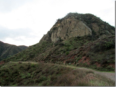
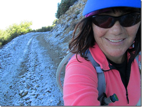
At the top of Harding Truck Trail, I came upon one of the thousands of  “Four Corners” on Earth.  It had spectacular views of snow covered mountains from afar.  From there, I took one of the 4 paths, The Main Divide, toward Modjeska Peak, and ran upon crusted snow and ice.  When my feet hit, I could hear the crackle of broken ice crunch down – a delightful, delicate sound.  Often I had to run into the bushes, around giant frozen puddles.  I also needed to concentrate on a strong footing, else I slip.  So much time had passed since my last run to Modjeska Peak from this direction, that one false summit fooled me. (I just love false summits,” said no one ever!)

Four Corners:

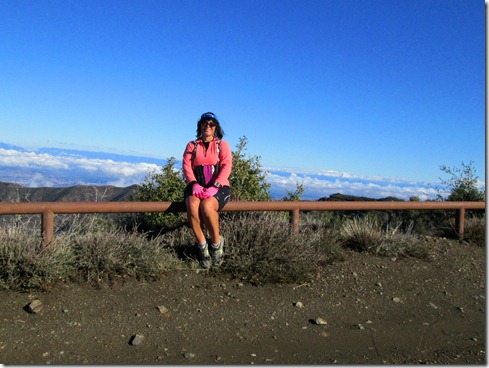
Running up The Main Divide toward Modjeska Peak:

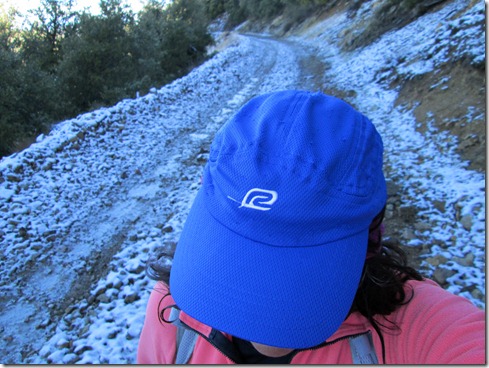
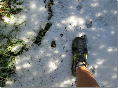
At about mile 12, I HAPPILY reached Joplin Trail.  I’ve only run Joplin Trail once; that was UP Joplin.  And I’ll tell ya, if I had come upon a sword during that trip, I would have thrown my self upon it.  Running down Joplin was a chore no doubt.  I ran on snow covered ground.  Though I could not pick up my pace much running down Joplin, the experience was joyous.  Rocks tumbled beneath my feet.  Moss grew upon the boulders.  I fell only once landing on my butt, and my hand slammed down on a jagged rock (that wasn’t so joyful).  I hopped over a spring that was not flowing on my last visit to Joplin.  And I even came upon crazy men struggling on bikes to make their way up this trail.

Just like when I ran up Joplin, I had to grab onto branches running down Joplin, else I fall flat on my face.  After my fall on my butt, I tripped hard once and nearly twisted my knee.  Best of all (besides the glorious snow covered single track), I ran beneath a gigantic tree that had fallen and created a sort-of-bridge over the path.

Eventually, I made it to “Old Camp.”  Here I took off the warm clothing and took out some fuel to consume.  As always when I stop, I turned off the music so that I could hear EVERYTHING.  I heard two men down by the stream.  After several minutes, I noticed that they noticed me.  And then oddly, one of them walked off, not assuredly, looking back at me, toward Joplin Trail.  He wore a pack on his back.  But he wore long pants and was obviously a hiker, not a runner.  Oddly, the other guy disappeared in the opposite direction.  And I had the sinking feeling that he was going to flank me, that is, make his way around the stream and come up behind me.

I got out of there quickly, and began running up toward Santiago Truck Trail.  On my way up, I looked down onto Old Camp, and SURE ENOUGH, that guy, had come around to what have been the back of me.  He looked up on to the road as I ran past.  And I continued running all the way to Santiago Truck Trail.  Though I got an odd feeling about those men, I’m going to believe that the first guy went off ahead because the other guy wanted to explore some more.  Still, I am very cautious and pay attention to everything.  I wasn’t going to take chances.
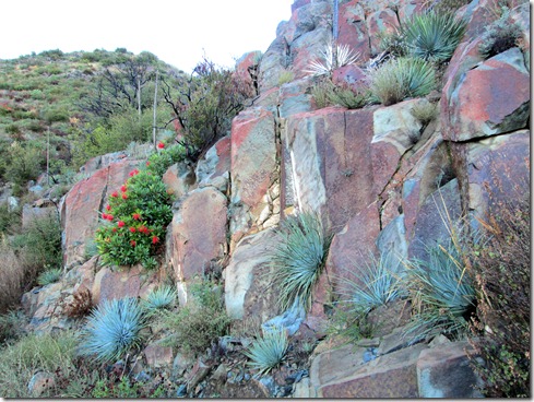
Joplin Trail:

Old Camp:

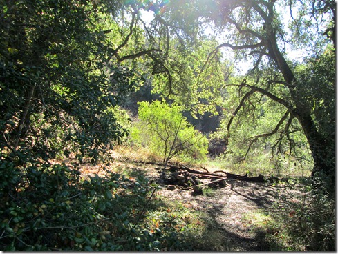
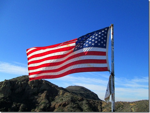
I felt great relief upon reaching Santiago Truck Trail.  It was however THE LONGEST TRAIL IN THE WORLD.  Isn’t the last trail always the longest?  I judged “how much longer” by the flag overlooking the vulture crags.  I knew when I came upon the U.S. flag, I had only about 6 1/2 miles left.  It took, of course, much, much longer than I imagined.  I was overjoyed when I finally spotted the flag from afar.  Still, I had about a mile before I actually reached it.   

Next anticipated spot was the trail head to Santiago Truck Trail.  It took flippin’ F O R E V E R.  I wasn’t overwhelmingly tired physically.  I was just tired, more so mentally.  When I finally spotted the trail head, it took me TWO  miles to reach it.  Then I ran another 1.5 miles back to my car.  I was moving pretty slowly in the end.  But it was all worth it, WELL WORTH IT.  Still, I couldn’t wait to get home to hug my boys. 

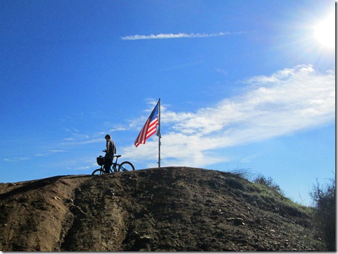
Santiago Truck Trail:Running Harding, MD, Joplin, Old Camp, Santiago Truck Trail, Modjeska Grade-Cyn 12-15-2012, Elevation - Distance