TALES FROM THE TRAIL (AND SOMETIMES THE ROAD TOO)

Showing posts with label Laguna Wilderness. Show all posts

Thursday, August 29, 2013

A New Loop

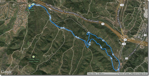
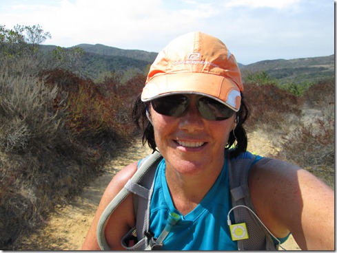
Some time ago a new loop popped into my head, a lollipop loop actually.  My idea was to connect two trails that I’ve run (Bommer Ridge and Laurel Canyon) with a trail that I haven’t run (Willow) in Laguna Wilderness.  Though I did glance at the map to make sure I could connect these trails (they meet at a staging area), I didn’t bother to calculate mileage.  I like some mystery (but I figured between 6 and 10 miles).  Anyway, I finally decided to do this loop today, on probably the hottest day of the year.    First off, I ran to the public restrooms and was already overheated.

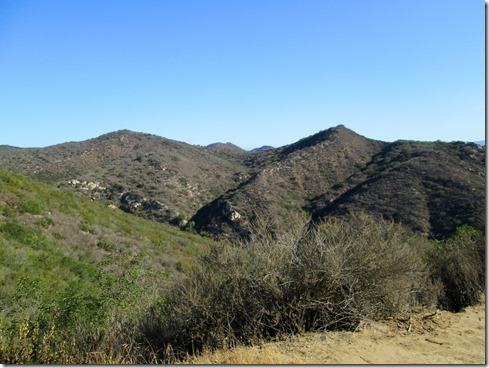
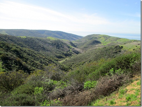
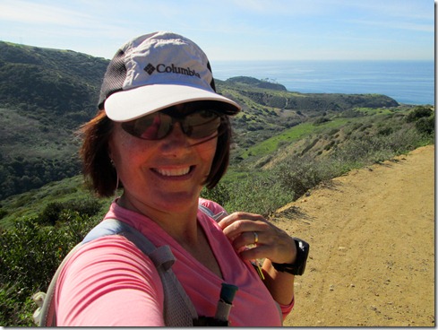
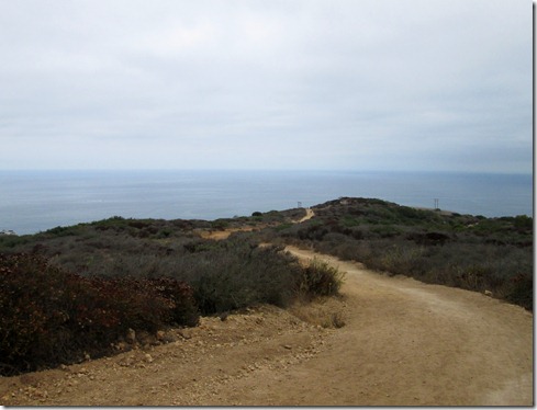
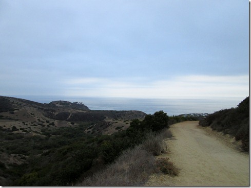
Bommer Ridge gave me spectacular ocean views to my right and some ocean breezes.  To my left I couldn’t help but glance occasionally at The Saddleback Mountains.  On Willow I began to make my way down, down, down, BENEATH THE RIDGE, away from the ocean breezes. 

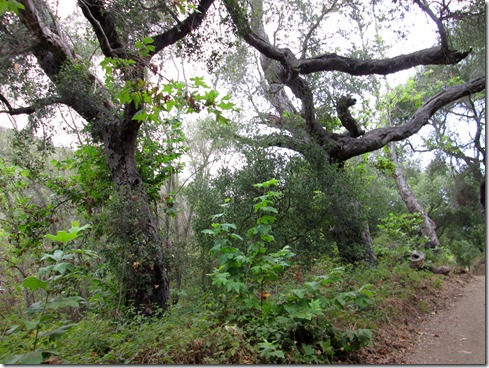
Running Bommer Ridge:

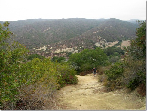
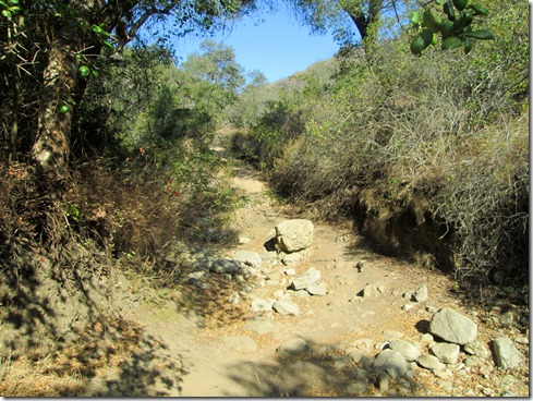
Willow is definitely not a summer trail, especially in 99f degrees.  With very little shade to be found, my downhill pace was much slower than usual.  I came upon a couple hikers here and there, all dressed too warm in my opinion.  Though a few ladies carried parasols.  I certainly would not rate Willow very high from today’s run.  And I probably won’t return, if I do, until the wintertime.

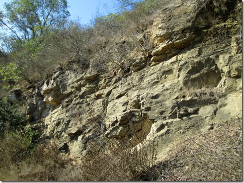
Willow Trail:

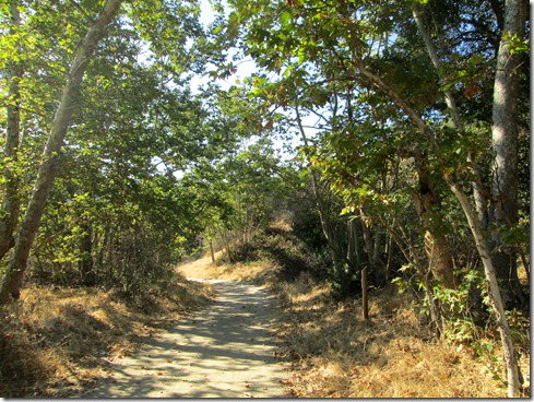
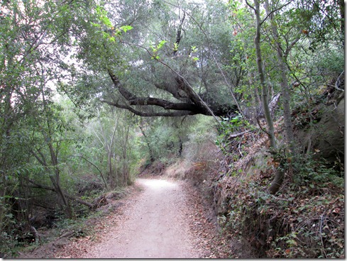
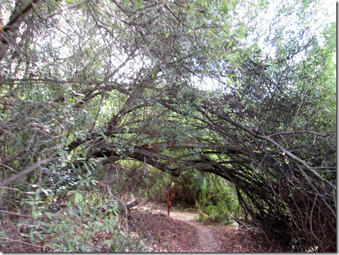
Much needed shade:

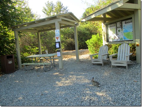
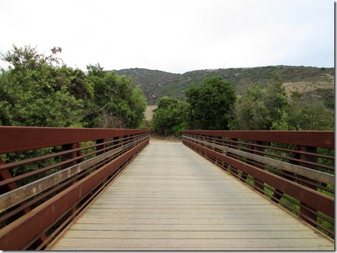
So happy to come upon the staging area for some more shade (notice the bunny Smile):

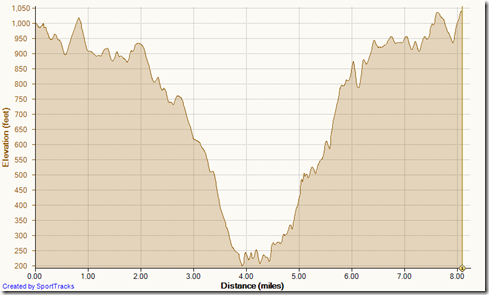
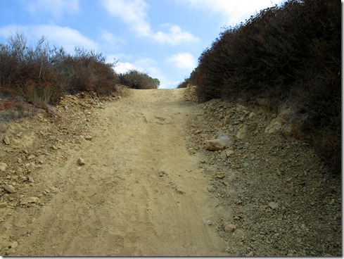
But then the climb up Laurel Canyon began – whew!
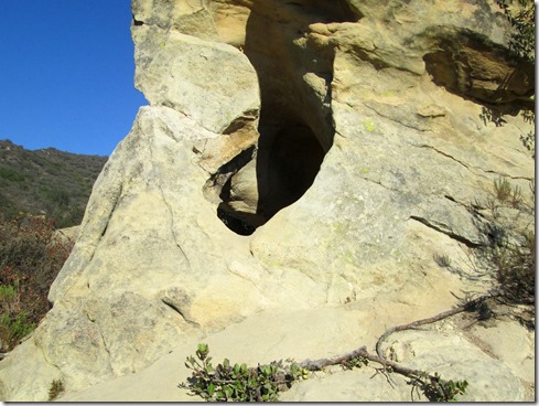
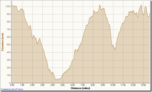
In all, this new loop measured 8.08 miles.  I would have liked 10 miles, but I was happy enough to quit at 8.08.  I came upon one lonely hiker as I ran up Bommer to the trailhead.  He said, “It’s hot!”  To which I replied, “Yup, it’s an oven back there.”

The lollipop:Running Bommer Willow Laurel loop 8-29-2013Running Bommer Willow Laurel loop 8-29-2013, Elevation

Friday, February 1, 2013

Change of Plans

I woke with a sore throat and considered not running.  Every time I run with a sore throat it seems that I get sicker and lose more time from training.  But I’ve already lost so much time.   I must get in the miles.  There really is no time to lose.  I dosed up on the vitamin C, got the boys breakfast and off to school before making my decision.  I chose to change my original grueling hill training run for a more relaxed 12 mile run. 

I didn’t take any pain relievers so that I could tell whether my throat worsened.  And I debated whether to drive up into the mountains for The Candy Store Run or to run local trails.  Wanting a change of scenery, I decided against the mountains (because there’s the extra 2 hours driving time), and chose parks I don’t often run:  Laguna Wilderness and Crystal Cove. 

These two parks are rather popular, much more than Aliso/Wood Canyons (my stomping grounds).  I think the reason for the popularity is the vast ocean views most of the trails provide.  I suppose they aren’t among my favorites because I live at the seaside.  Standing on my front porch I can see a sliver of the ocean.  If I walk a short block and a half up, I have literally a 180 degree ocean view (my town is kind of in a giant cove). 

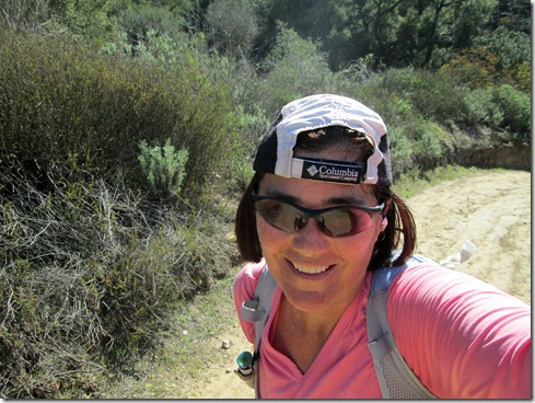
Running No-Name Ridge into Crystal Cove:

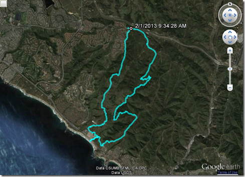
My throat hurt when swallowing, my calves and shins tightened with each step I ran down toward the sea.  Stopping twice to stretch, I decided the tightness was probably early signs of plantar fasciitis rearing its ugly head again.  I decided to tape my arches once I reached the ranger station approximately 3.5 miles away.  Then as if instantly, at 1.5 miles, my calves and shins felt perfectly fine. 

Very soon, I ran in awe of the coastal beauty.  I was also surprised how many hikers I came upon on this weekday morning – dozens. 

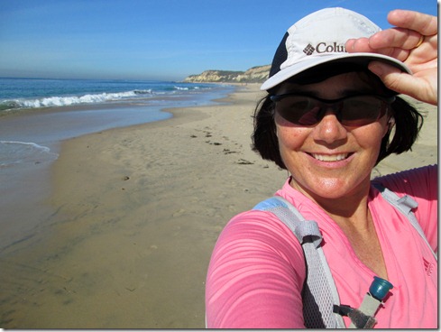
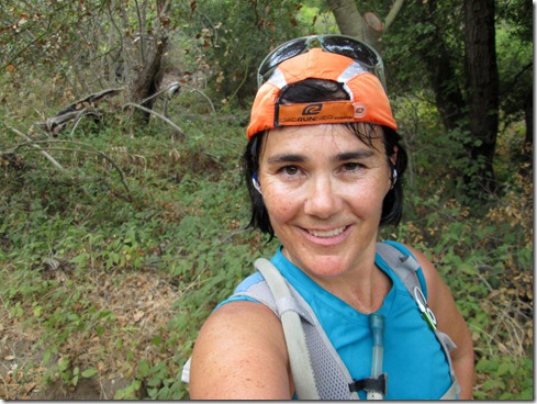
A quick pose before final descent to the ranger station:

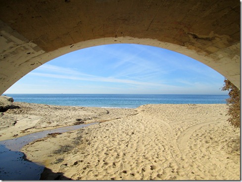
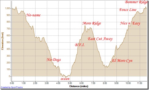
Not wanting to waste time, I decided to skip taping at the ranger station.  Instead, I ran out to the ocean for a quick glimpse of what I take advantage of every day.  The water was a gorgeous deep blue.  White water rushed up to my feet.  I jumped back to avoid wet shoes.  Then I stopped briefly to run my hand through the fine sand in search of beach glass.  (Yes, we collect beach glass in our home.)  Coming up empty handed I ran back underneath the highway and headed up to Moro Ridge.  I decided on B.F.I. (Big F****ing Incline) to take me there.  The trail is named appropriately.

Onward to the ocean:

Relieved to finally make the ridge, I soon ran right back down to near sea level because I simply have to run El Moro Canyon.  It’s not quite a brutal run, and it’s beautiful down there.  Only thing is, since I had run all the way back down, all my B.F.I. progress was lost, and I had to climb back out.  I forgot all about my throat.  It felt good to have sweat run down my face. 

I took Nice and Easy Trail for the final ascent which wasn’t easy at all, though it was nice.  I suppose it was easier than the alternative, Elevator Trail.  The trail I took lasted so long however, that I wished that I had chosen Elevator, which gets you to the ridge REALLY quickly.

Running Crystal Cove Loop 2-1-2013, Elevation - DistanceRunning Crystal Cove Loop 2-1-2013

I’m delighted I changed my plans today instead of resting up.  Yes, today’s run was still a tad grueling.  But it was WELL worth it.  I’ve got both arches taped up tonight.  And best thing is, I don’t have a sore throat right now.  Here’s to hoping I can stay well! 

Saturday, August 25, 2012

Miscalculated

Today’s training schedule dictated 26 miles.  I thought it would be so much easier if I could just find a marathon to run.  Really.  I searched the internet on Friday.  The only reasonably priced and kind of close marathon was sold out. Dang.  I was just trying to make it easy on myself.  Can you blame a girl? 

Instead driving to the mountains, I concocted a three-park loop in the local coastal hills:  Aliso/Wood Canyons, Laguna Wilderness and Crystal Cove.  I could make this a really long story.  Truth is, I’m just too tired.  Short story is that I miscalculated my 26 miles.  I knew this early on.  So, I altered my loop.  Even with the altered loop, I realized I was still WAY over 26 miles.  But I couldn’t cut it short when I realized this at about 15 miles, because I needed to refill fluids at Ridge Park.  After refilling, I decided to cut it short again (else come in at 30 miles), then I took a wrong turn (for a short detour) and made it back to my truck at 28.53 miles (about 46 km). 

I arrived home overheated and dead-dog tired.  But I felt good, more confident than usual, after being able to run it all the way in.  I am ready for an early night to bed. 

So onward to the pictures, lots of pictures:

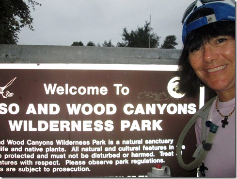
Entering Aliso/Wood Canyons:

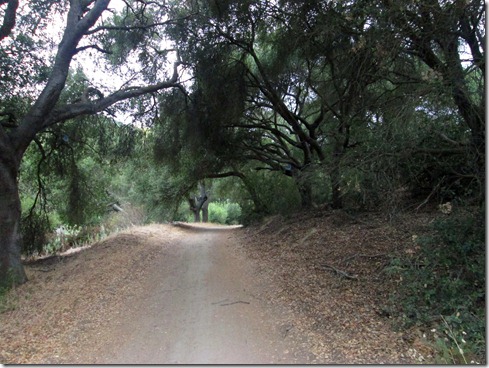
Wood Canyon:

Exiting Aliso/Wood Canyons Park:

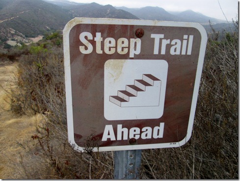
This sign is NOT needed:

See?  No sign needed:

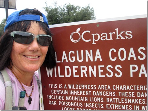
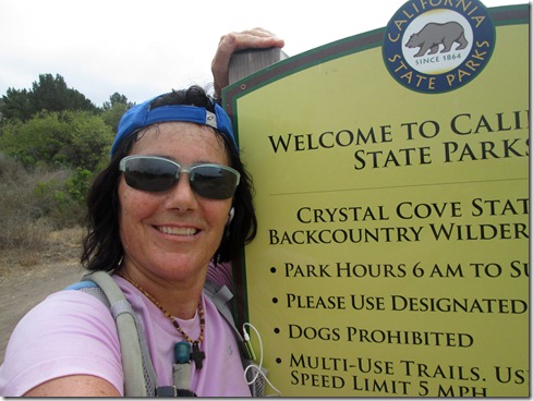
Entering Laguna Wilderness:

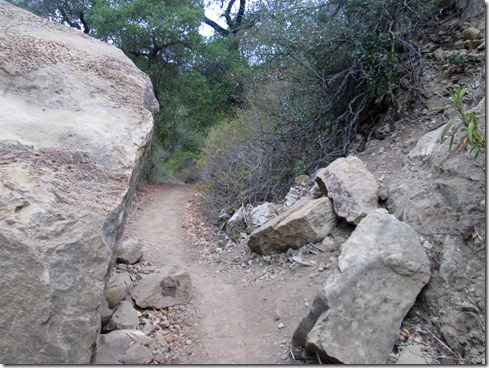
Laurel Canyon Trail:

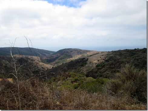
Moro Ridge overlooking Pacific Ocean:

Entering Crystal Cove:

Crystal Cove:

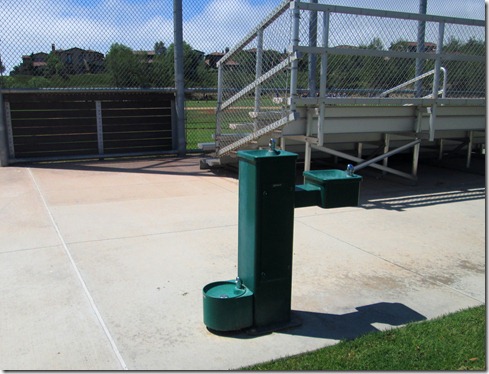
The water fountain!  The water fountain!

Homeward bound, running Rock It:

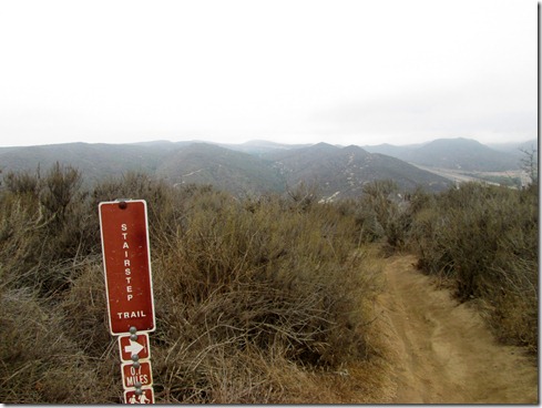
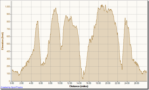
Elevation Profile (And the route for those interested:  Aliso Creek Canyon Trail, Wood Canyon Trail, Cholla, West Ridge, Stairstep, cross Laguna Canyon, Laurel Canyon Trail, Willow, Bommer Ridge, Old Emerald, Emerald Canyon, Old Emerald Falls, Moro Ridge, B.F.I., No Dogs, No-Name, Bommer Ridge, Willow, cross Laguna Canyon, Stairstep, West Ridge, Rock It, Coyote Run, Mathis, Wood Canyon Trail, Aliso Creek Trail Smile)

My Activities Triple Park 8-25-2012, Elevation - Distance

Wednesday, August 22, 2012

Change of Scenery / Day Two of Hard Week

I should have wondered why I didn’t see a single other runner this morning.  I even only saw a few hikers.  I’ll tell you why no one was out in The Laguna Wilderness or Crystal Cove this morning.  No one came out to play because it was so humid, the air was so thick, even breathing was laborious. 

When I arrived home, my back and hands cramping, I told my husband, “That was hard!” 

“How many miles did you run?” he asked.

“Fourteen.”
“And you expected it to be . . . ?”
I did kind of expect a breeze since I ran so close to the ocean.  I did expect lower temperatures since the skies were overcast.  Expect the unexpected is what I often say.  Today was case in point.

Running in these adverse conditions has got to make me stronger.  Besides that – the trails were gorgeous.  AND, I rarely run these parks, so I needed to guess a 14 mile route.  Can you believe, I was almost right on.

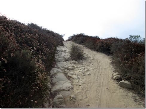
Running No-Name Ridge (seriously that’s the trail’s name), headed toward No-DogsTrail (yup):

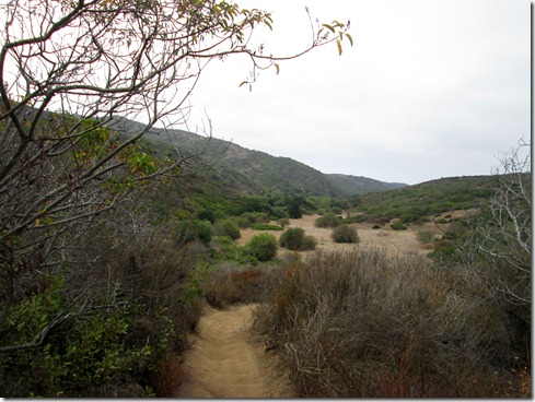
Making a turn at bottom of Crystal Cove to run up El Moro Canyon:

I LOVE EL MORO CANYON:

After a (kinda) quick jaunt up Nice and Easily Trail (which wasn’t so easy, but it was nice), I hopped onto Missing Link (below):

From Missing Link I ran El Moro Ridge looking for my second favorite trail here, Old Emerald Falls.  As usual, I made a wrong turn, so I got a little extra mileage added on searching:

Finishing up Old Emerald Falls:

Climbing the wretched Emerald Canyon:

Almost to the top (Bommer Ridge):

An exhilarating roller coaster profile:My Activities El Moro 8-22-2012, Elevation - Distance