TALES FROM THE TRAIL (AND SOMETIMES THE ROAD TOO)

Saturday, January 16, 2016

One Mile At A Time

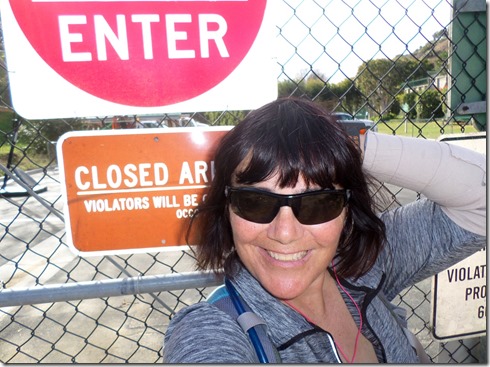
It rained on Friday as I drove to Arroyo Trabuco Trail in Las Flores – enough that I had to use the windshield wipers.  Normally, I might have turned around and spent the morning at the gym instead.  But I couldn’t afford wasting time, as this was the first chance in a long time that I hoped to get in a double digit run.  Good thing I kept on driving because the rain ceased by the time I exited the freeway close to ten miles later.  (Though the skies remained dark and gray the remainder of the day, not another drop of rain fell).

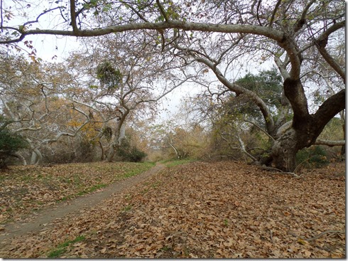
We have had our fair share of rain the past couple of weeks which meant that Trabuco Creek was flowing good.  So good that I couldn’t find a dry way to get to the other side at the first crossing.  Knowing that I still had more than eleven miles ahead, I removed my shoes and socks and waded across the slippery rocks barefoot.  Let me tell you, I was super paranoid about falling, here in the stream, or anywhere on Arroyo Trabuco.  One of my worst falls came on this very same trail, and with my arm nearly healed, but not totally, I could not afford a fall, not even a small one.  There’s no way I’d be able to catch myself, or probably even get in a proper roll. 

Well, I made the remaining four stream crossings with dry feet.  But on the return, I marched right through the last crossing drenching my shoes and socks.  With only a mile remaining to my truck, I figured it was worth it – didn’t want to waste the time of removing my shoes and socks then putting them back on.  Plus it was kinda fun.

SAMSUNG CAMERA PICTURES

SAMSUNG CAMERA PICTURES

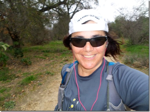
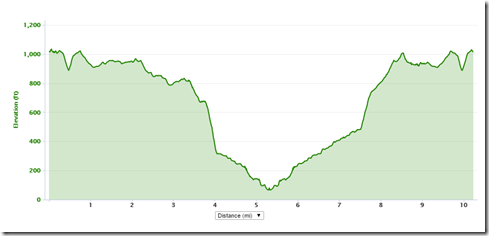
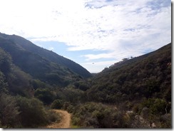
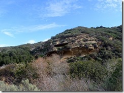
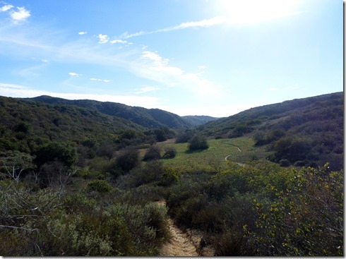
In all, this trip encompassed running all the way to O’Neill Park. At the park, I turned around making it an out-and-back, this one totalling 12.3 miles.  The trail was lonely, a lovely lonely, only coming upon two other runners, another two hikers and five or six cyclists during the entire twelve miles.

I am happy to report, that I did not fall once.  Though I did trip once, and nearly had a heart attack over it.  I found that if I kept my steps short and maintained a mid-foot strike, that I could keep tripping on the rocks and roots at bay.  I am also happy to report that even though at the turn around point, I thought to myself, “Oh Lord, how am I ever going to run 6+ more miles?” I was able to pull it off, one mile at a time.  One mile at a time!  That’s my motto right now, just put one foot in front of the other and conquer one mile at a time. 
SAMSUNG CAMERA PICTURESSAMSUNG CAMERA PICTURES

Friday, January 15, 2016

Regular Route

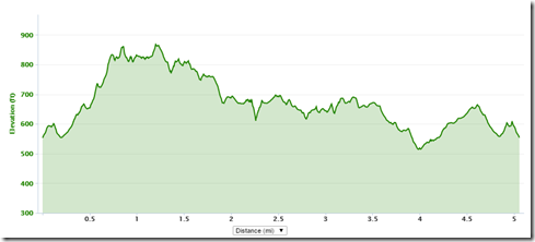
Thursday I got in another hilly run along one of my most regular routes.  The route, just in case someone is wondering:  Wood Canyon in Aliso Viejo, up Cholla Trail, and then West Ridge in its entirety up to Top of the World (in Laguna Beach).  The second verse of course, same as the first.  In other words, it’s an out-and-back, which traditionally I’m not big on (I’m a loop girl).  But this really is a terrific out-and-back as far as out-and-backs go because it’s short and has lots of hills (not to mention gorgeous views). And I don’t know why, but I love those hills (even though they kill me!)

IMG_0800IMG_0803IMG_08046.62 miles, 910 ft. elevation gained:1 14 161 14 16a

Wednesday, January 13, 2016

Nines

IMG_0787Looks like nine is my number lately. Saturday, I got in a nine mile run along the beaches in town.  It was a nice flat run, on cement though.  That’s always tougher on me than taking to the trails.  It think it’s probably tougher one me because 1) I run faster, thus fatigue quicker, and 2) my feet problems hate the cement.  The run was lovely nonetheless, especially with this cold weather. Love the cold weather!

My route: Highway One, Doheny Beach, Capistrano Beach, Dana Point Marina, to The Headlands (Ocean Institute) back to Hwy One.

9.14 miles, 365’ gained

IMG_0779IMG_0782

Tuesday, I got in another nine mile run, this time at Aliso/Wood Wilderness Park.  Again, I got to frollick in the cold weather.  And my feet enjoyed the soft dirt so much more.  Certainly was not a flat run.  But I endured.  And I endured until the end, oddly, with less fatigue than my recent flat nine miler. 

My route: Aliso Canyon, Wood Canyon, Meadows Trail, Top of the World, Mathis, Wood Canyon, Aliso Canyon

9.54 miles, 1,169’ of gain

SAMSUNG CAMERA PICTURESSAMSUNG CAMERA PICTURESSAMSUNG CAMERA PICTURESSAMSUNG CAMERA PICTURES

1 2 16

Thursday, January 7, 2016

Doctor’s Orders

Monday I had a follow-up appointment for my arm.  The doctor took another x-ray and said that it’s healing very nicely, that I should have full motion in another week or two.  And I should be back to full strength in another four to six weeks.  I asked whether I had to wear the splint cast, and he said that I did not, which is a good thing since I have been without it frequently, choosing to wrap the arm instead. Now, as per doctor’s orders I can go without it.

And so after the appointment, I went out and celebrated by running my first trails since the accident (again without the splint cast!).  Even with a wrapped arm, I must say, I felt quite comfortable.  Actually, my arm felt more comfortable while running than it did while I was hiking.  So, it looks like I’m back in the game.  Just waiting now for the rain to stop in this rain-forsaken land so that I can get out for some more miles.
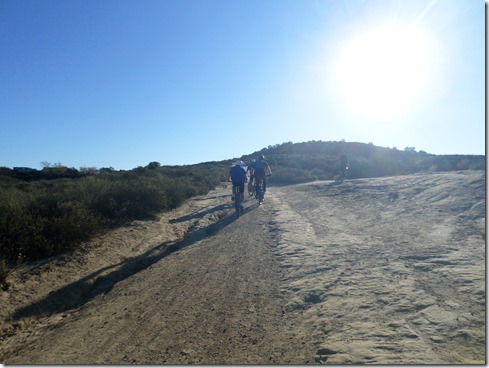
SAMSUNG CAMERA PICTURESMonday’s route:  Wood Canyon, up Cholla Trail, West Ridge to Top of the World (taking all three detours off and back onto the trail along the way).  Return trip: same as the first, but reverse.  Total miles: 6.57, Total elevation gained: 925’


SAMSUNG CAMERA PICTURESSAMSUNG CAMERA PICTURESSAMSUNG CAMERA PICTURES

Always got to get one of the Pacific . . .

SAMSUNG CAMERA PICTURES1 4 16

Sunday, January 3, 2016

Emerald Canyon

Saturday I got back out for some trails in Laguna Wilderness.  Still not running, though I did run a couple of hills on this trip.  And I kept the cast splint off again, as even though I cannot straighten my arm yet, I really need to be able to swing it some.  With the cast, swinging is difficult but with it tightly wrapped I can get some movement in. 

I started off on Bommer Ridge and made it to my favorite ridge in this area, Moro Ridge with its gorgeous 180 degree ocean views.  But this time, instead of taking Moro Ridge to the end, I took an unmarked single track to my left after travelling the ridge for about a mile. 

This unmarked single track was a lovely piece of work with lots of rocks and a clear shot of Emerald Canyon, which I have not ventured to in years.   At times the trail got so steep and technical that I got down on my behind and scooted down.  I just cannot risk falling right now. 

This unmarked single track dumped out smack in the middle of Emerald Canyon, right near a bridge that I have never seen before.  Apparently, it was built about two years ago (according to a trail runner I came up on). It is a bridge to nowhere as this trail runner put it.  And indeed it is, but a gorgeous single track to nowhere.  You see, Emerald Canyon trail abruptly ends at a giant chain-link fence with an exclusive Laguna Beach neighborhood on the other side.

SAMSUNG CAMERA PICTURESSAMSUNG CAMERA PICTURESSAMSUNG CAMERA PICTURESSAMSUNG CAMERA PICTURESSAMSUNG CAMERA PICTURESSAMSUNG CAMERA PICTURES

For the trip back, (which was a five mile uphill trek), I decided to take Old Emerald Falls, an old favorite of mine, which winds through a giant meadow and up another rocky single track to Moro Ridge.  From there, I hopped onto Missing Link, which I regretted with its constant ups and downs (I was dang tired).  But, thankfully, that little detour ended up cutting my trek short by about a half a mile.  I was ready for a nap!

SAMSUNG CAMERA PICTURESSAMSUNG CAMERA PICTURESSAMSUNG CAMERA PICTURES1 2 161 2 16a

Thursday, December 31, 2015

Happy New Year

It has been a rough year.  Not a terrible year, just a rough year, especially emotionally, especially with regards to trails.  Seems almost apropos that I should end 2015 with a broken arm, and compliments of the trail for that matter. 

I am not back to running yet, but I did make it out to the trails the last day of 2015.  I took the splint cast off, yet wrapped my arm because I wanted a little more freedom of movement. I fear that was probably a mistake.  My arm is terribly sore tonight.  Actually both arms are sore, but that’s for a topic in 2016 after my follow-up with the orthopedic surgeon. 

SAMSUNG CAMERA PICTURESFor now, I am so happy to get out this New Year’s Eve.  My route:  a short one, about 6.25 miles into Wood Canyon (in Aliso Viejo), up Cholla Trail to West Ridge, and West Ridge all the way to Top of the World in Laguna Beach.  It was a wonderful hike, and I worked on speeding up my hike speeds on the hills, which will hopefully help me out some come Calico.

Happy New Year! 

SAMSUNG CAMERA PICTURESSAMSUNG CAMERA PICTURESSAMSUNG CAMERA PICTURESSAMSUNG CAMERA PICTURES

Tuesday, December 29, 2015

In Spite of i

Monday morning, I slept free from my dream attacker.  Much relief.  But that is not to say that I slept easy.  Not exactly. I chuckle now thinking about it.  I dreamt (it seemed for hours and hours) that I was simplyfing radicals with a pencil on a yellow pad of paper – negative radicals using the imaginary number called i (or the square root of negative one).  Whoa!  Nightmare, not.  In fact, I woke with a full liking, acceptance and appreciation of the number that in my mind does not really exist.  (Now, not so much so, as I’m left with that same awkwardness I always had with the concept).

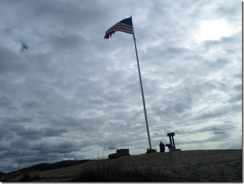
Crazy dream?  Perhaps.  But I just thought I’d put that out there since I’ve blogged recently concerning my nightmares.  ANYWAY, after this mathematical extravaganza of a night, I lackadaisically got myself out the door for a quick drive to some local trails off of Las Ramblas in Dana Point.  The weather was super cold compared to what I’m used to, probably somewhere near 40 degrees farenheit.  My goal:  hike to the flag.

SAMSUNG CAMERA PICTURES

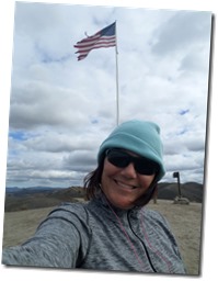
SAMSUNG CAMERA PICTURESPlenty of other hikers had the same goal in mind.  Though when I reached the flag, only two others were present.  Dozens of fresh cut flowers lay at the post base.  And in an upright mailbox was a red composition book that I signed on one of the last pages.  Before heading back I took in the cities below – San Juan Capistrano and Dana Point, and delighted in looking for the places that I know well.  It always amazes me to see how the cities are laid out from above.  Landmarks aren’t right where I suspect they are in relation to other places, roads go into areas that I didn’t know existed (kinda like i).  And the number of trails intertwining below that I never see from the flatlands is mind boggling.  The ocean seems endless.  Catalina is like a mountain range floating upon it. Thousands upon thousands of cars rush by on Interstate 5.  It’s marvelous up there.  It really is . . .  in spite of the fact that there is no real solution to the square root of negative one.  Smile

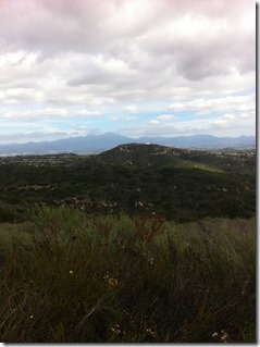
Looking down on San Juan Capistrano with The Saddleback Mountains in the distance:

SAMSUNG CAMERA PICTURES

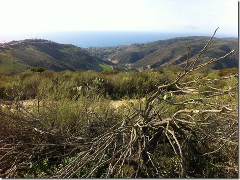
Overlooking Dana Point with the Pacific Ocean in the distance:

SAMSUNG CAMERA PICTURESSAMSUNG CAMERA PICTURESSAMSUNG CAMERA PICTURES

12 28 15